X

testo di prova

Bike Itineraries

Between nature and fascinating urban landscapes,
Sacile is the best place to experience amazing itineraries.

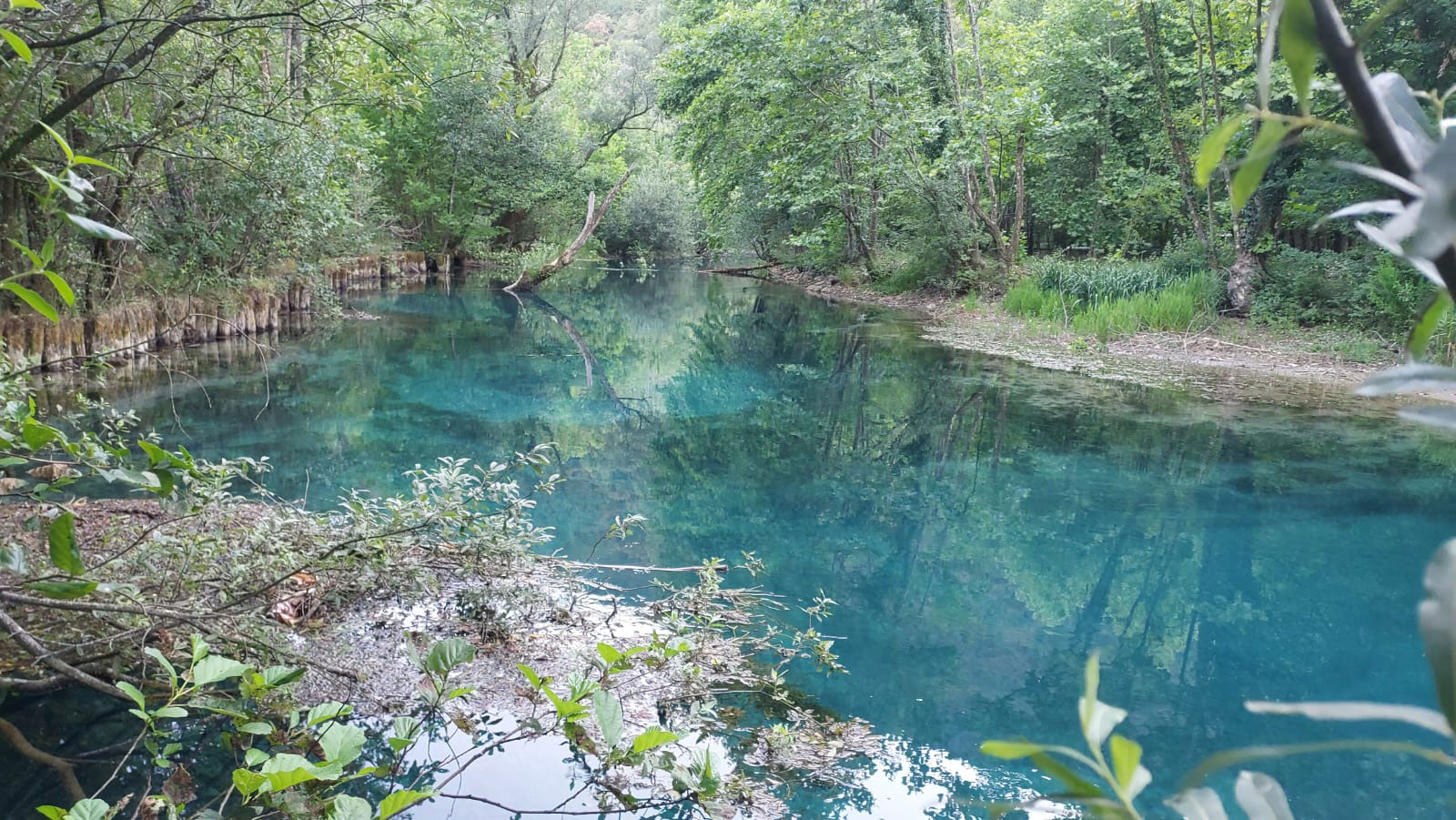
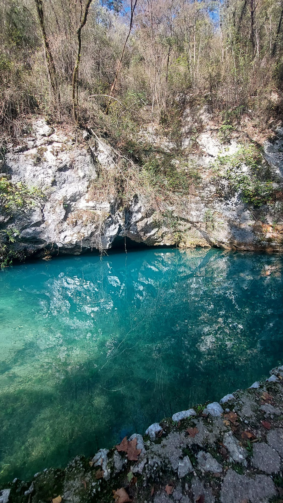
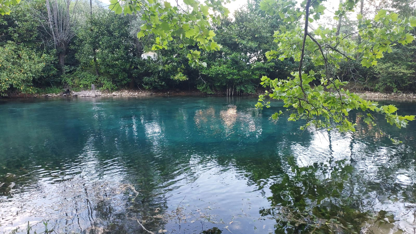
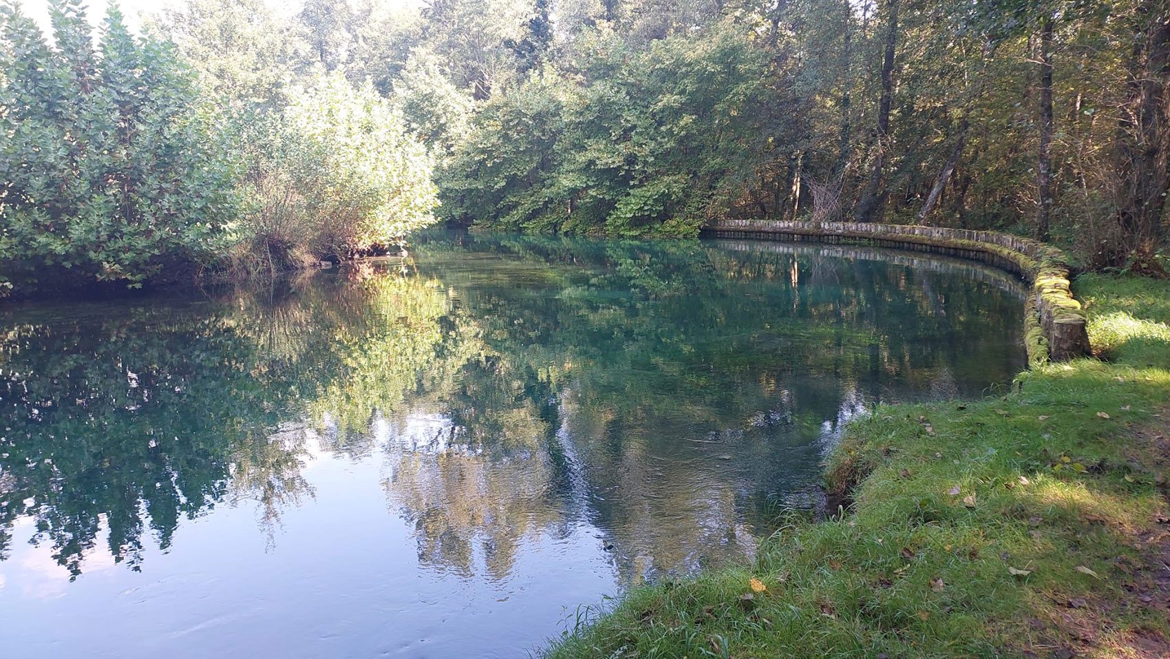
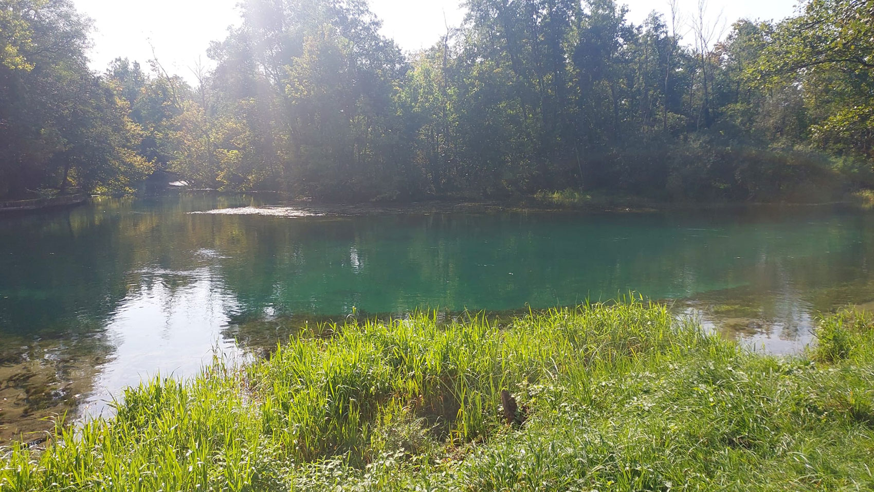
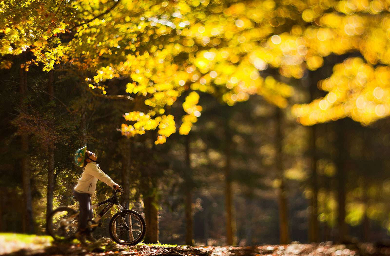
The area features particularly beautiful landscapes with river environment characterized by an exceptionally lush and varied flora and by a fauna which has almost disappeared elsewhere.

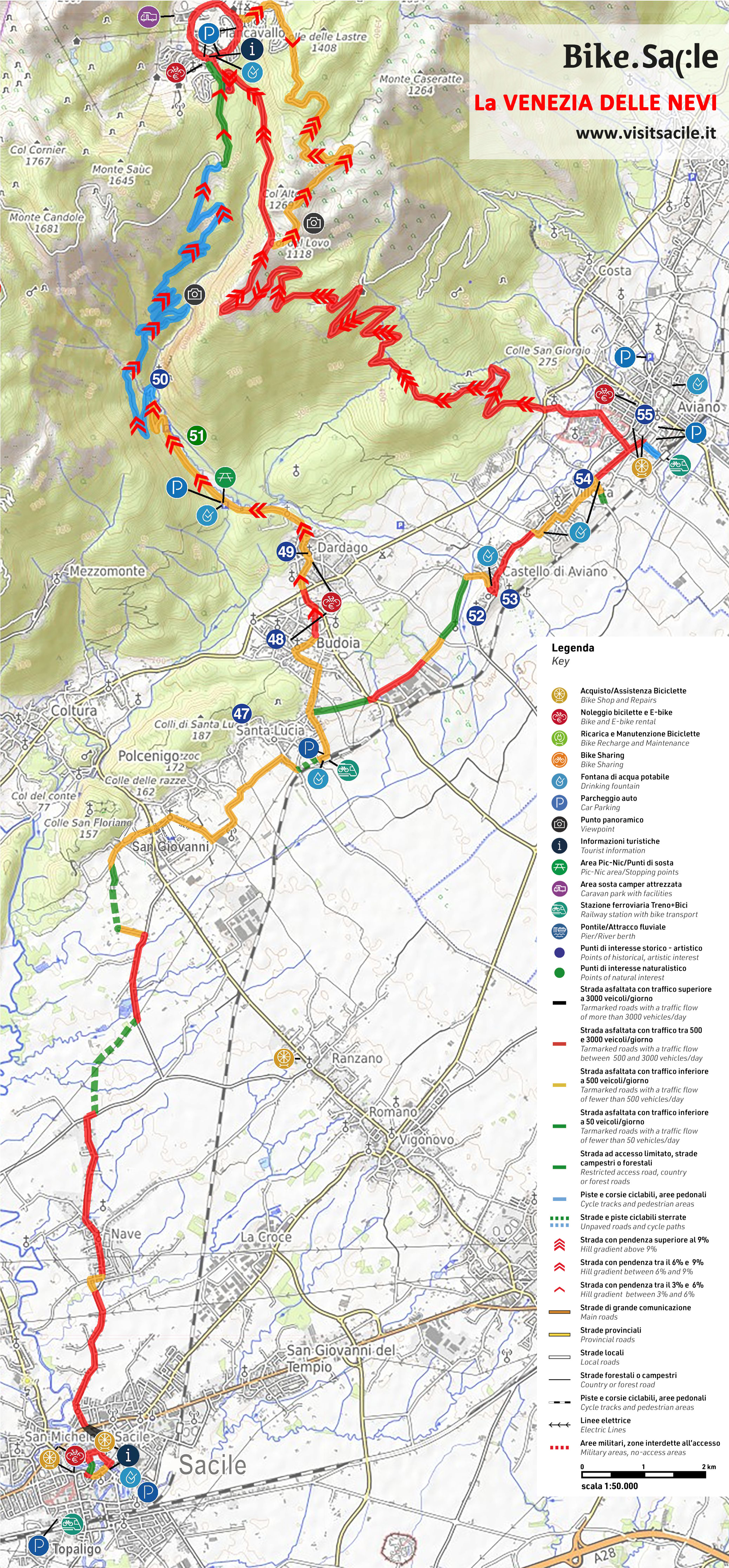
From Sacile, or in Sacile, many itineraries can be planned: southwards in the countryside with its historical remains, or northwards at the foot of the mountains, with the springs of the river Livenza, boroughs and castles, and the pile dwellings in Palù di Livenza.
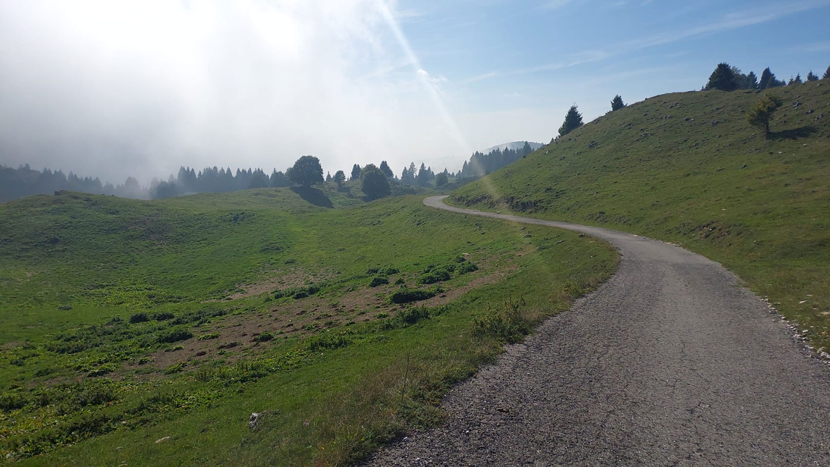
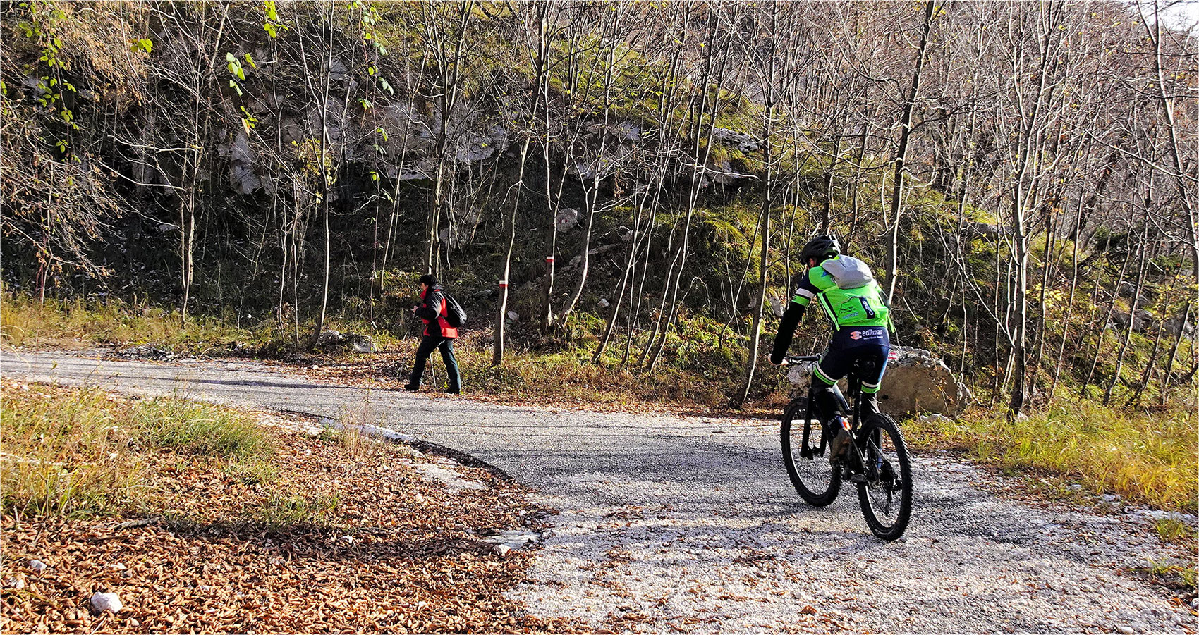
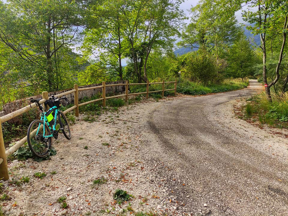
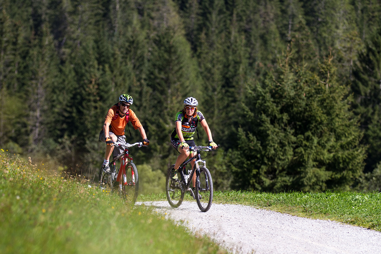
The most skilled riders can venture out to the forest of Cansiglio and Friulian Dolomites to enjoy breath-taking panoramas, ancient paths (sometimes paved), sweet slopes and arduous traits, cottages, pastures and woods. These areas, with their natural attractions, offer panoramic views on the plain below, conveying a magic serenity. On clear days, the panorama stretches to the sea.


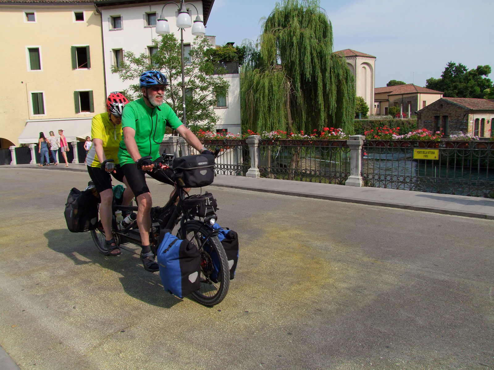
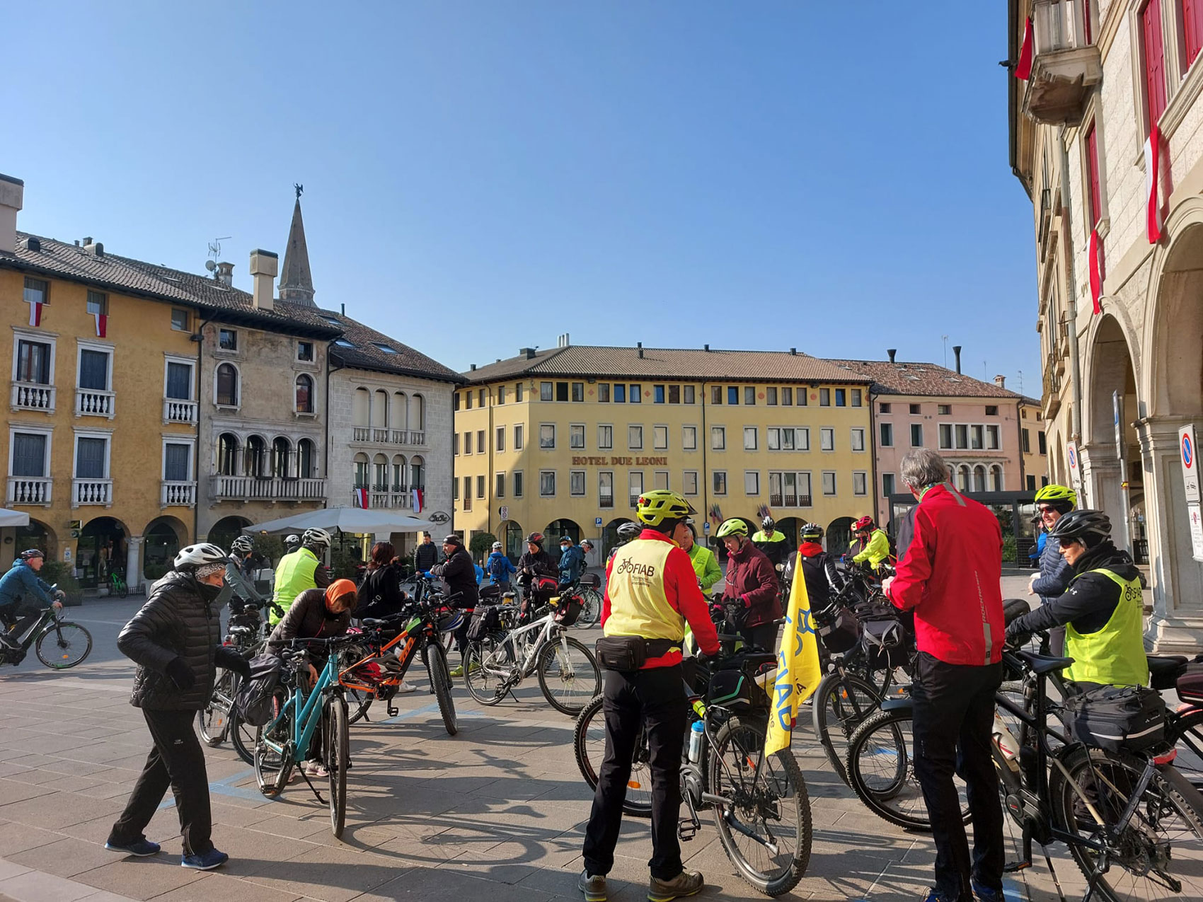
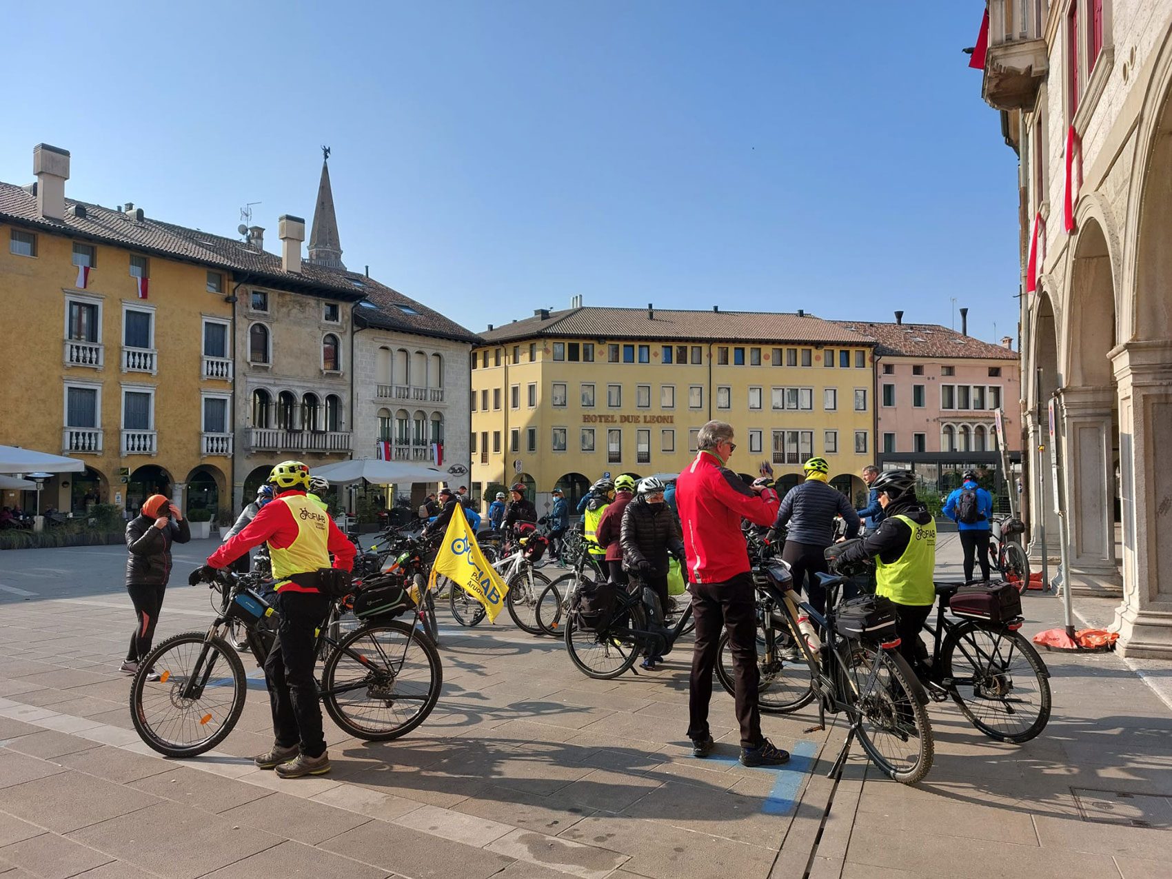
Sacile, a fabulous starting point

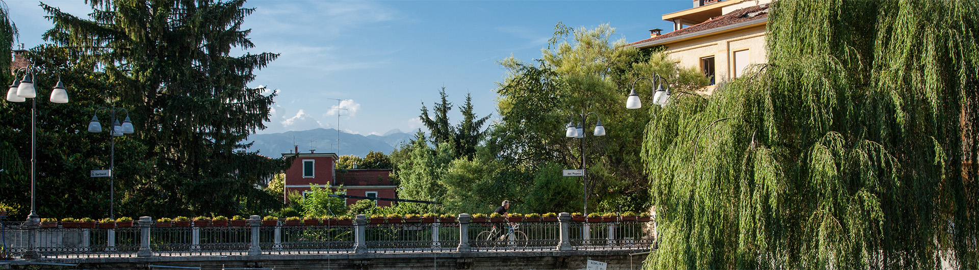
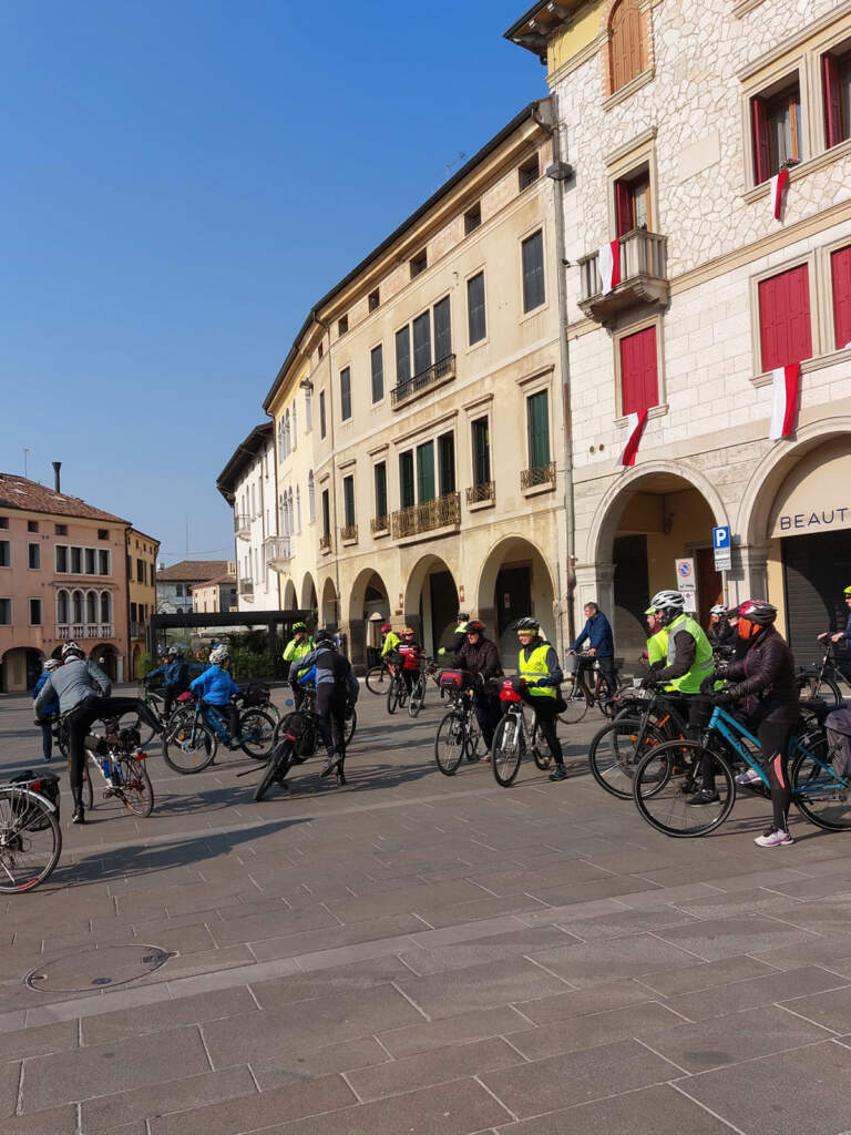
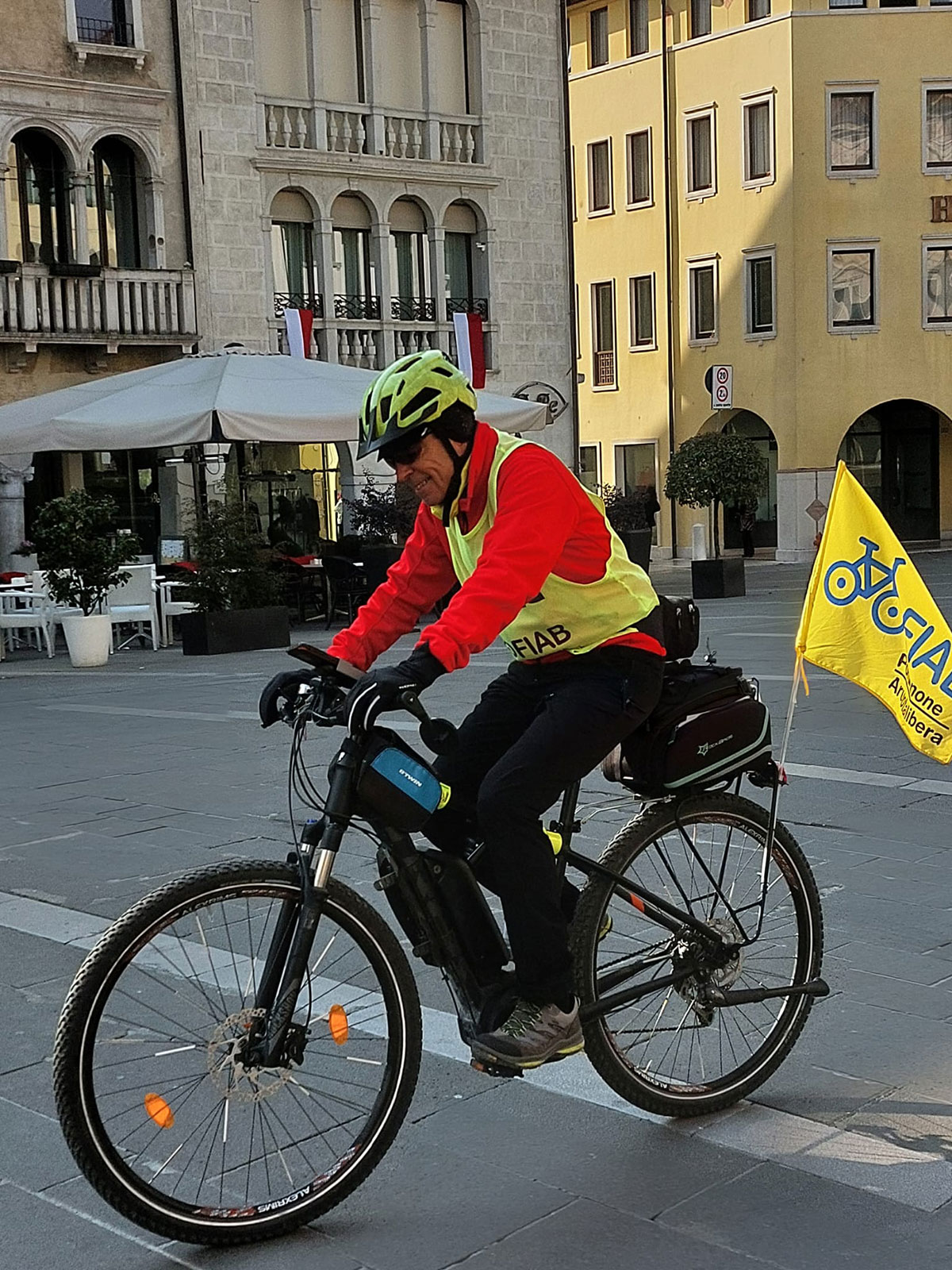
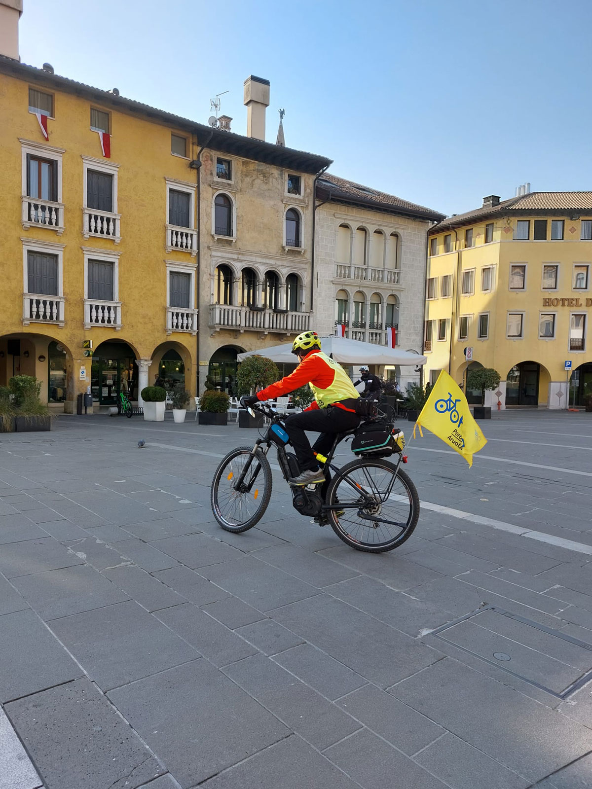
Historically, Sacile is an important meeting point: a crossroads between the mountains and the sea, between Friuli and Veneto. It is the gateway to the Cansiglio and Piancavallo mountains to the north, the starting point for descending along the Livenza river to the Adriatic Sea to the south, the main point of passage between the Friulian plain to the east and the Marca Trevigiana to the west. Sacile is also a node in the Friuli Venezia Giulia cycling network, through which two cycle paths and the national FIAB AIDA route pass. Other routes, which are very popular with cyclists, branch off from these axes in all directions, making the city a popular base for two-wheelers.
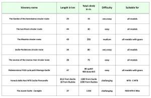
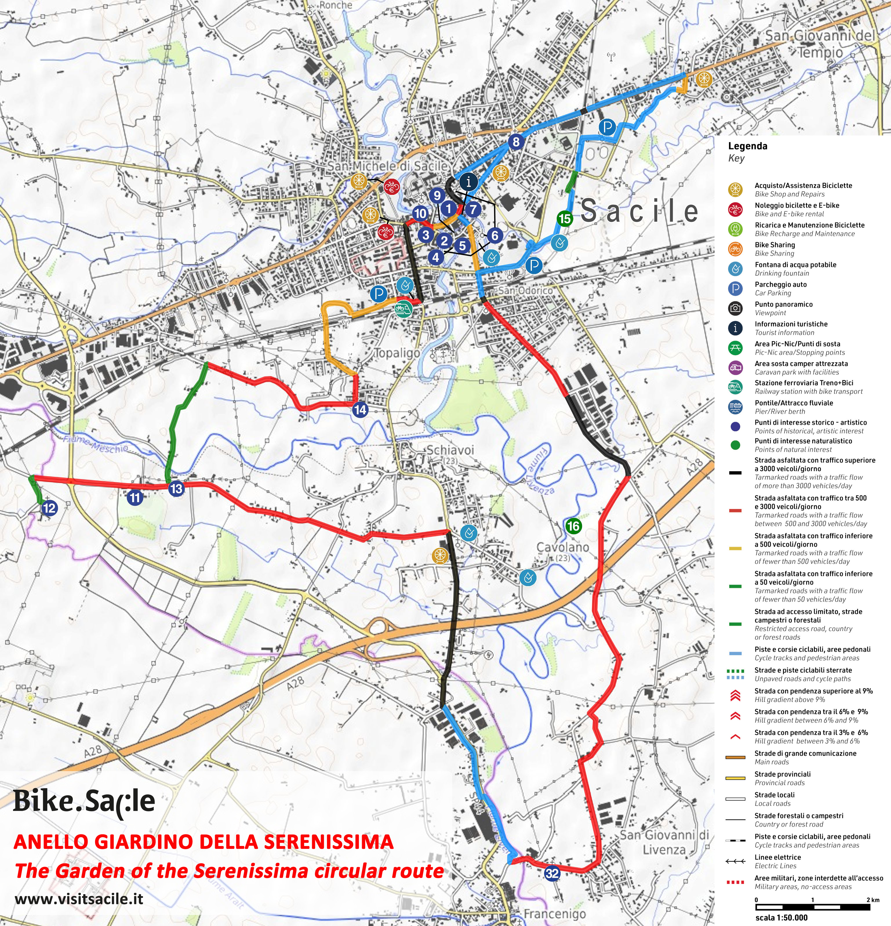
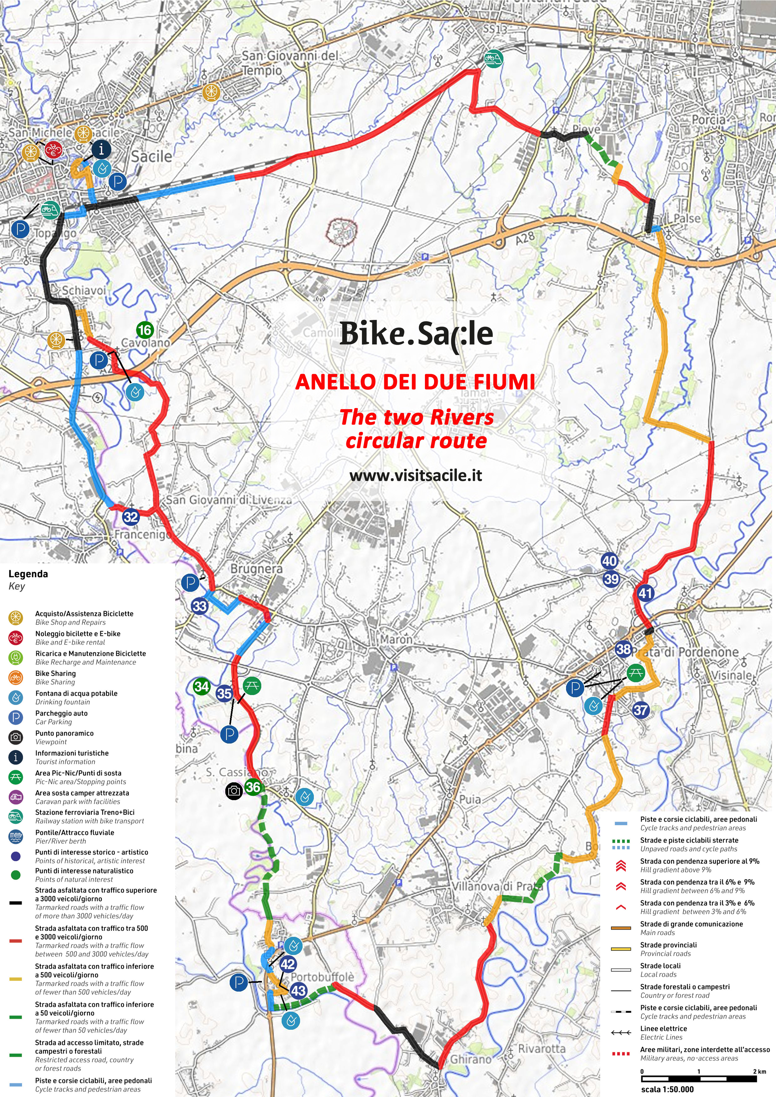
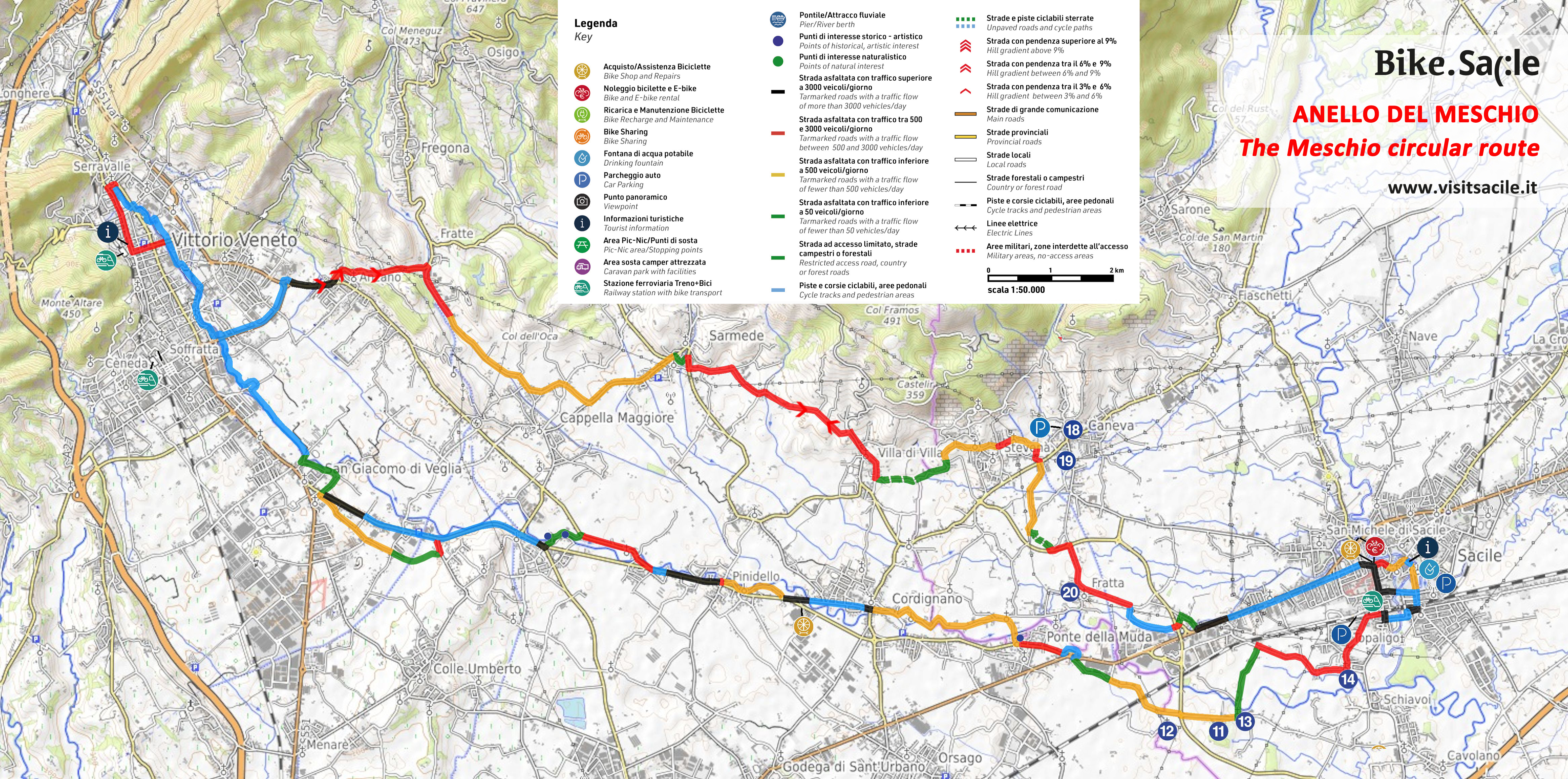
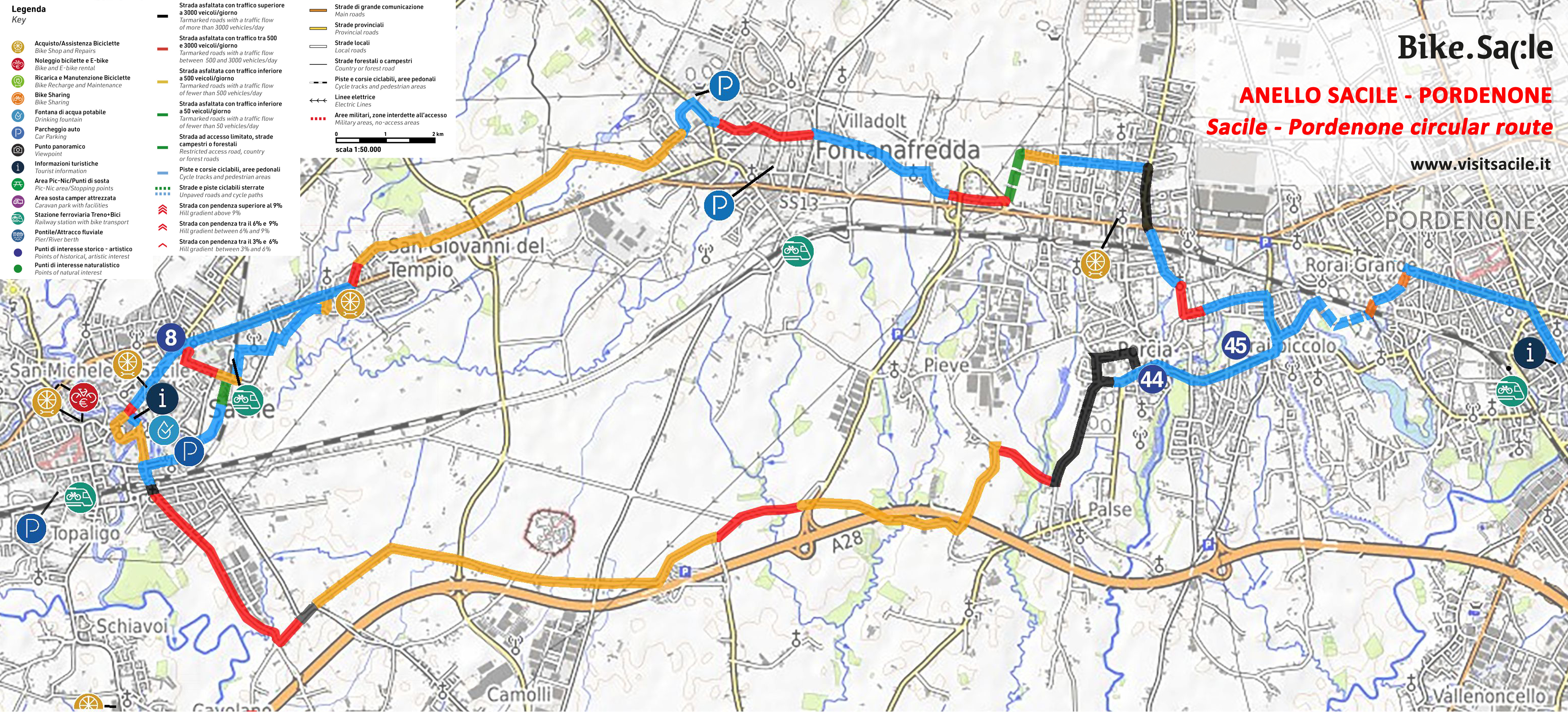
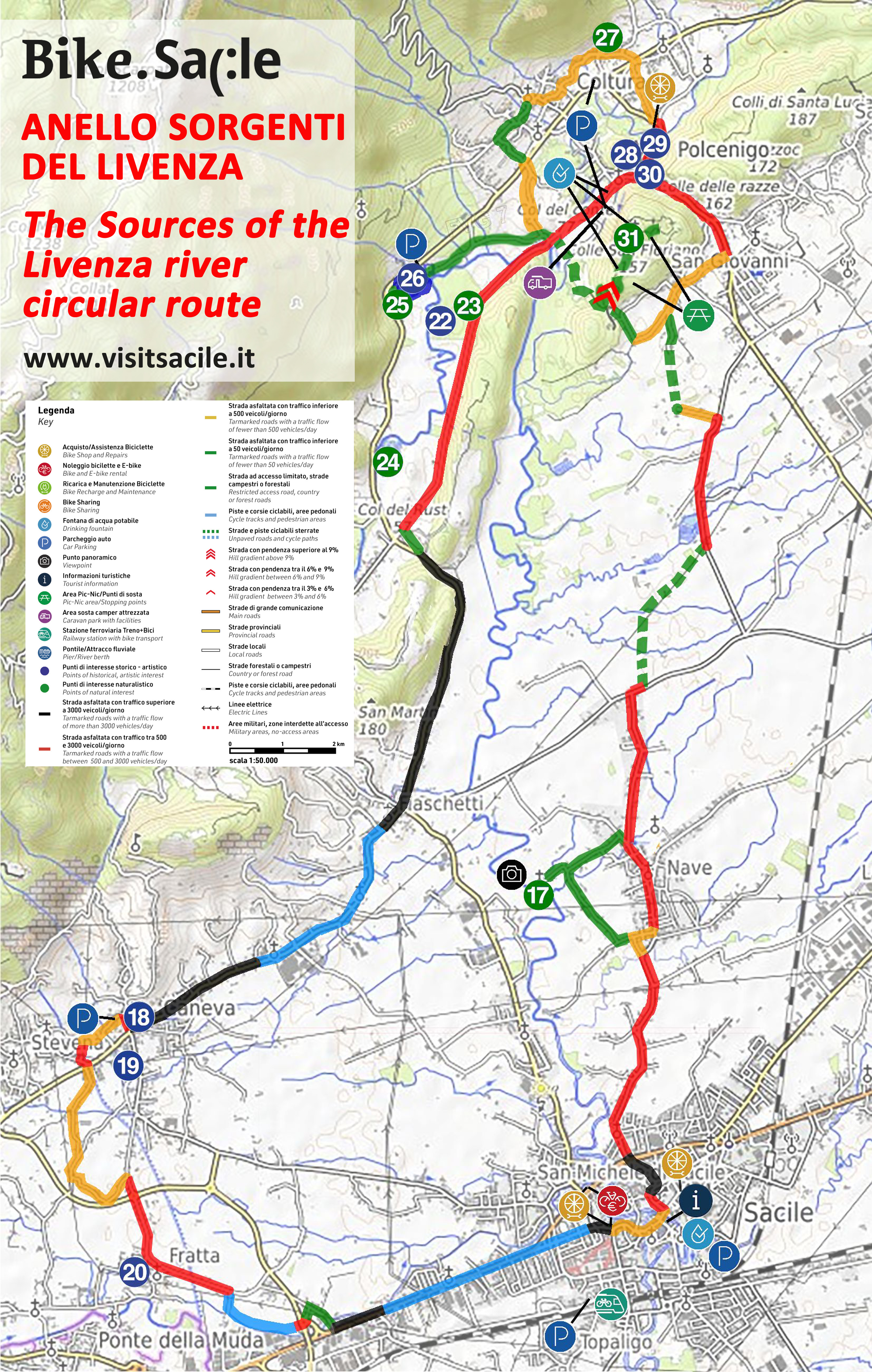
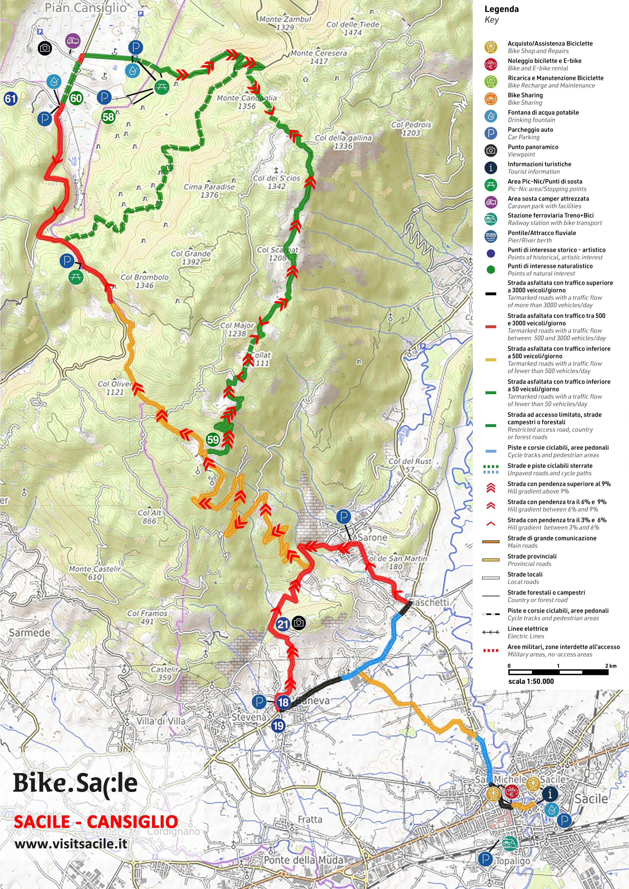
These 8 itineraries allow you to discover the territory in every direction; map, descriptions, useful information and gpx track for each are available for free!

Itineraries for cycle tourism

This tour on two wheels is perfect for anyone wishing to discover Sacile through the sweetness of its river
and countryside landscape, the harmonious lines of the Venetian architecture in the city centre and the
historic remains along the way. It is therefore a very easy route, even for those who do not often cycle and
it allows to reach villages and hamlets of Sacile.

Informazioni sul percorso
Mappa
Traccia gpx (file zip)

The Lower Pordenone area is characterised by two important rivers: the Livenza and its main tributary, the
Meduna. Enclosed within mighty embankments, the rivers are not always visible from the path, but
important towns have emerged along the banks and have shaped the history of this area: Sacile, Brugnera,
San Cassiano, Portobuffolè, Prata di Pordenone.

Informazioni sul percorso
Mappa
Traccia gpx (file zip)

The Meschio River, which emerges from a couple of small lakes just above Vittorio Veneto, is a tributary of
the Livenza River, where it flows into just below Sacile. There is a natural and historical link between these
two cities: the river and the fact that they belong to the same diocese. A visit to this historical town is
therefore a must, not least because it is still the main point of reference for the whole communities on the
Livenza side.

Informazioni sul percorso
Mappa
Traccia gpx (file zip)

This route connects Sacile to Pordenone and vice versa, avoiding the busy regional roads. This circular route
is not only a tourist itinerary, but also an intercity mobility route, as the two towns are only 12 km apart as
the crow flies. They are also linked by the railway and all frequent regional trains allow bicycles to be carried.
It is therefore a very easy route, even for those who do not often cycle, and allows you to visit the two
beautiful cities in complete comfort, while also being able to count on intermodal train+bike services to skip
a stretch of road.

Informazioni sul percorso
Mappa
Traccia gpx (file zip)

Sacile’s history, culture and even its name are linked to the Livenza river, which flows through the city and
embraces the historic centre, branching off and coming together to form two islands. It owes much of its
importance and historical, political and economic status to this treasured waterway. The Livenza River
originates not far from here and its three spectacular springs (Molinetto, Santissima and Gorgazzo) have held
a mystical and supernatural aura since ancient times, both because the water rises pure and very abundant
from underground, and because the exact point where it originates and the route it takes to reach the surface
are not yet known.

Informazioni sul percorso
Mappa
Traccia gpx (file zip)

The Ciclovia Pedemontana FVG 3 is an important cycling route in Friuli Venezia Giulia. It is 185 km long and
runs from Gorizia to Caneva through the Friulian foothills. It has a unique characteristic: it crosses places
characterised by the best Friulian wines and various food and wine products that have become part of the
Slow Food movement. It is a true ‘Taste Route’!

Informazioni sul percorso
Mappa
Traccia gpx (file zip)

Venezia delle Nevi is the road from Dardago up the valley of the Artugna stream to Piancavallo.
Built in the 1960s, cleaned and restored in 2019 by paving the section that remained unpaved, it is now a
beautiful MTB route, wide and rideable on an E-MTB for those who have not had a lot of training.

Informazioni sul percorso
Mappa
Traccia gpx (file zip)

The ascent to Cansiglio from Sacile is one of the classic Sunday excursions for MTB, E-Bike and road bike
riders. You’ll never be alone on the road, even on the most unlikely of days for cycling!
It is a steady, shady climb, not very long, with few climbs. The road is not particularly busy, even during tourist
periods and at weekends, it is not very wide and there are several bends and hairpins; be careful, especially
downhill!

Informazioni sul percorso
Mappa
Traccia gpx (file zip)