X

testo di prova

Trekking Itineraries

Walking among nature, art and history to discover enchanting natural landscapes.

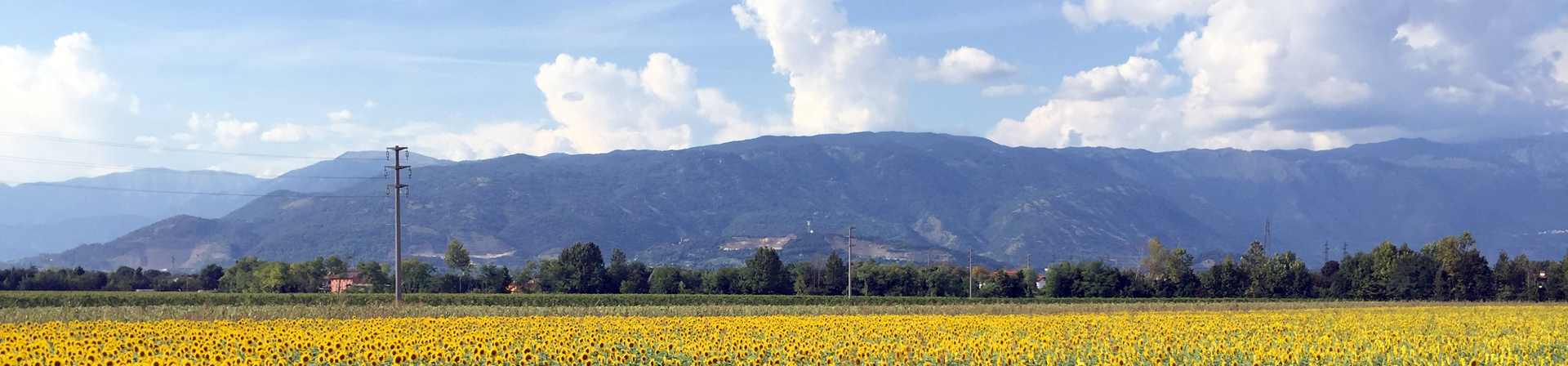
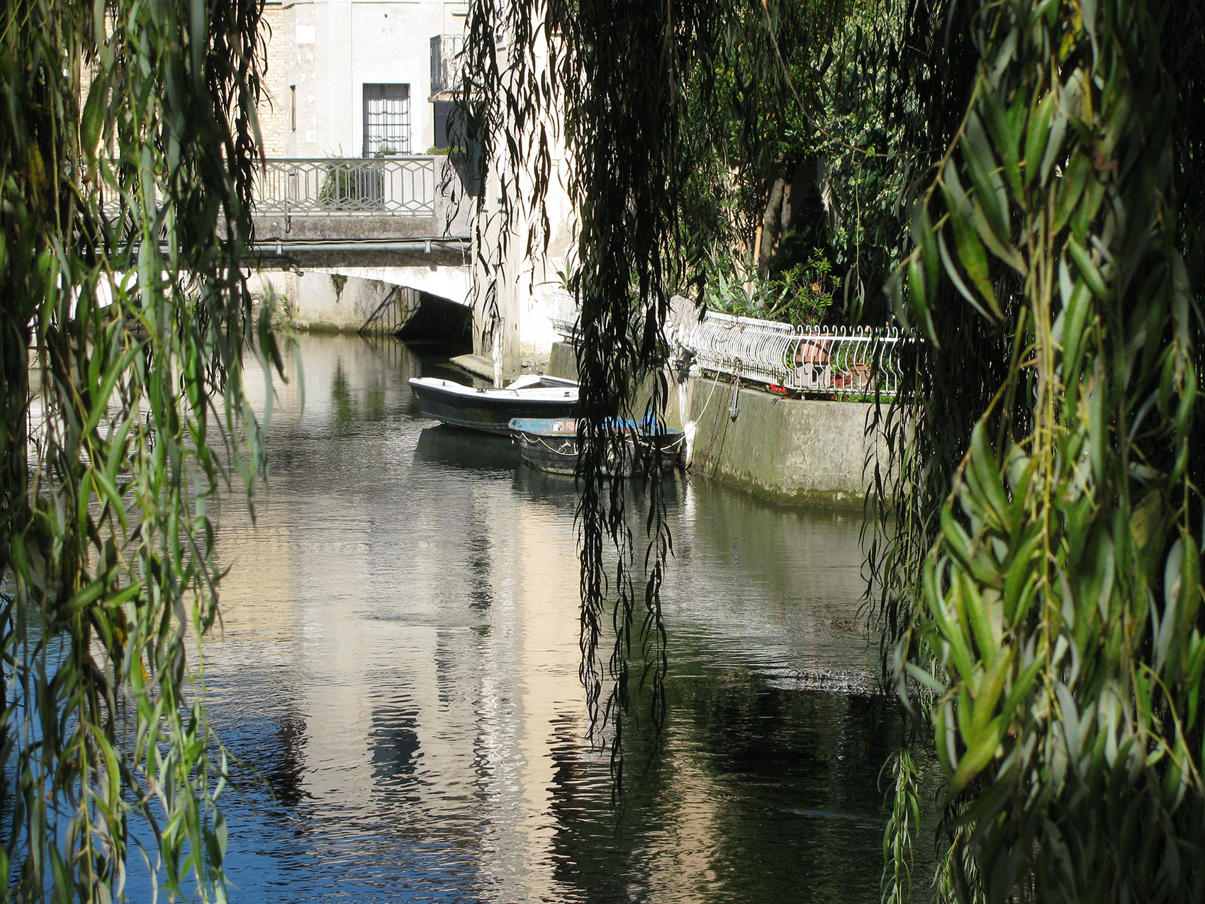
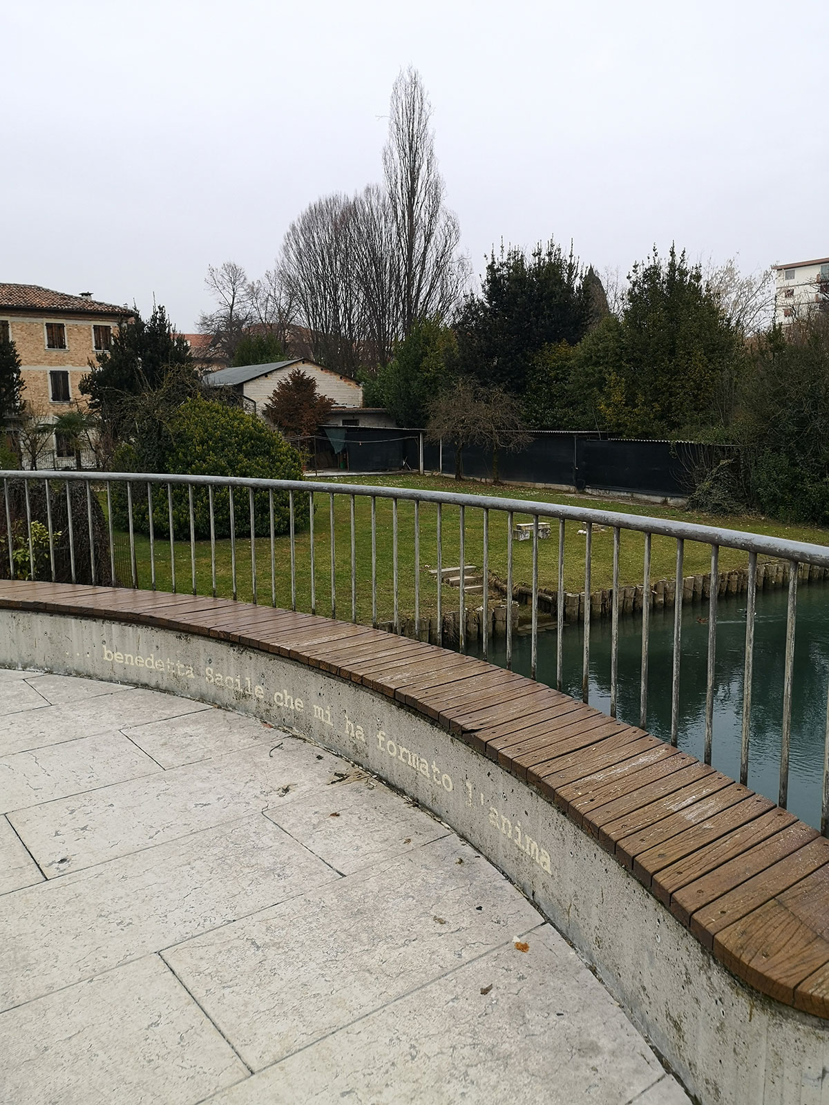
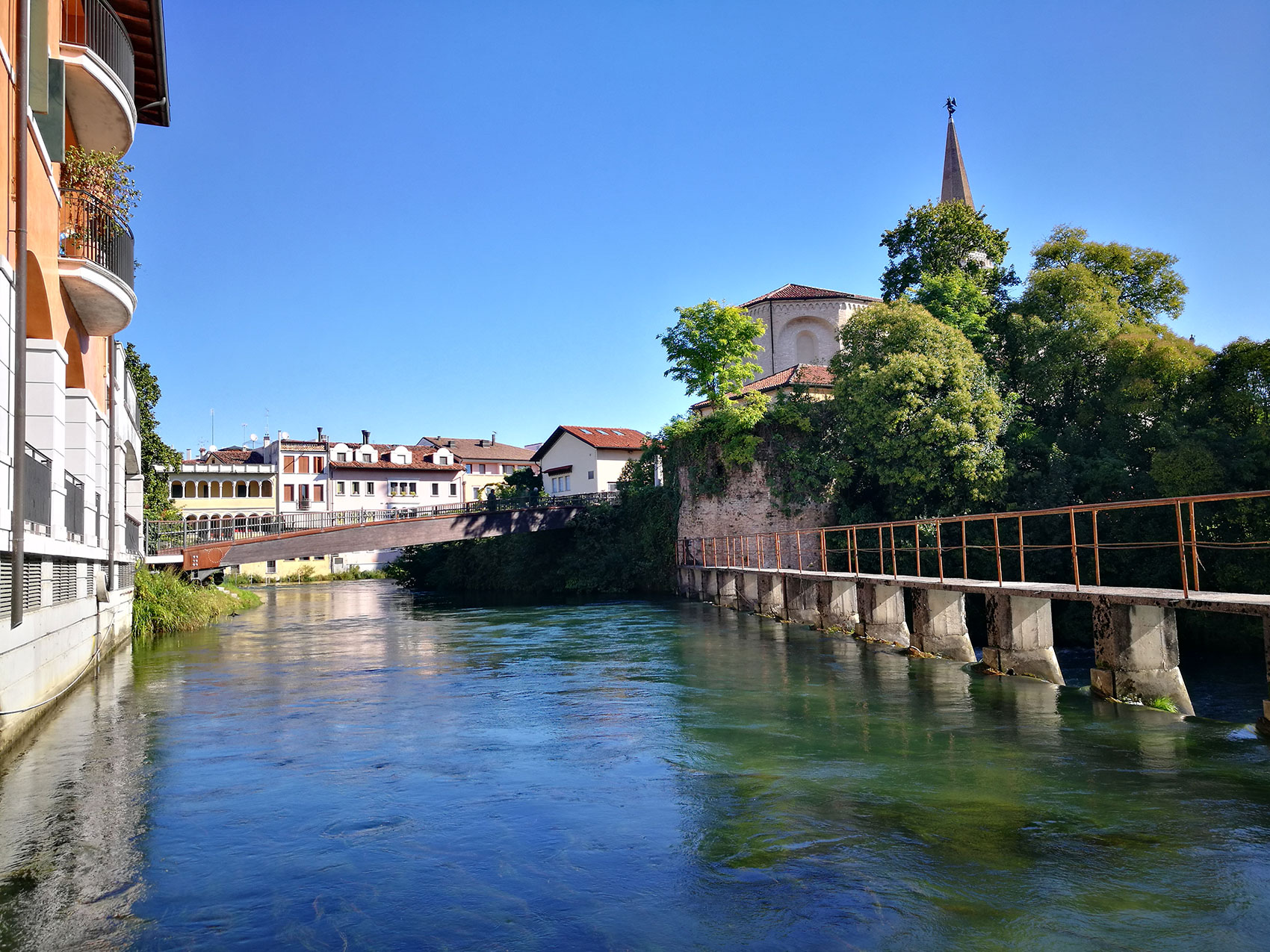
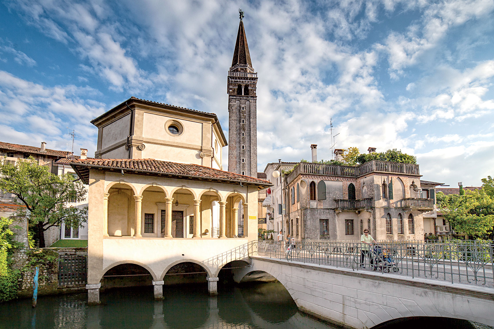
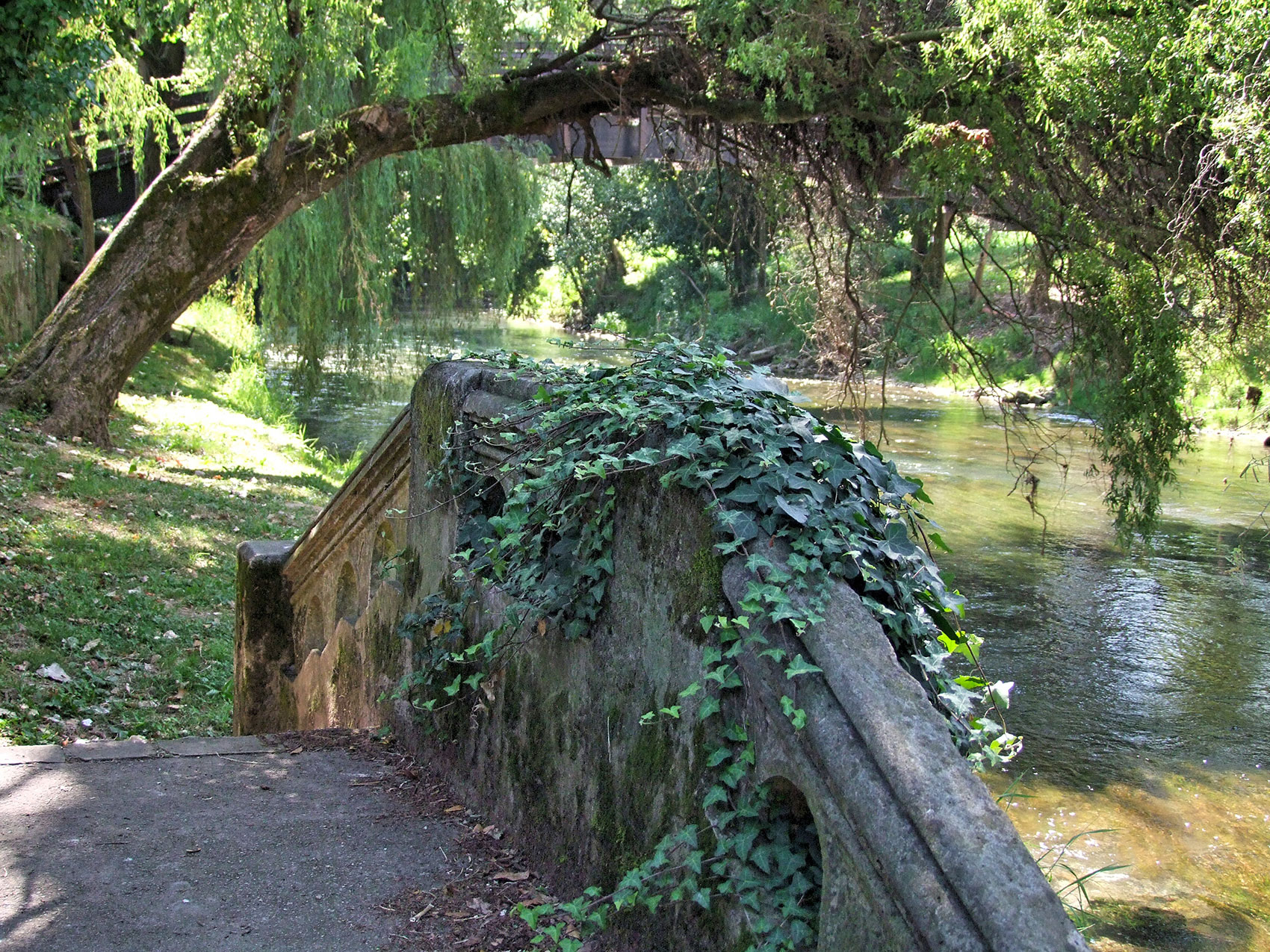
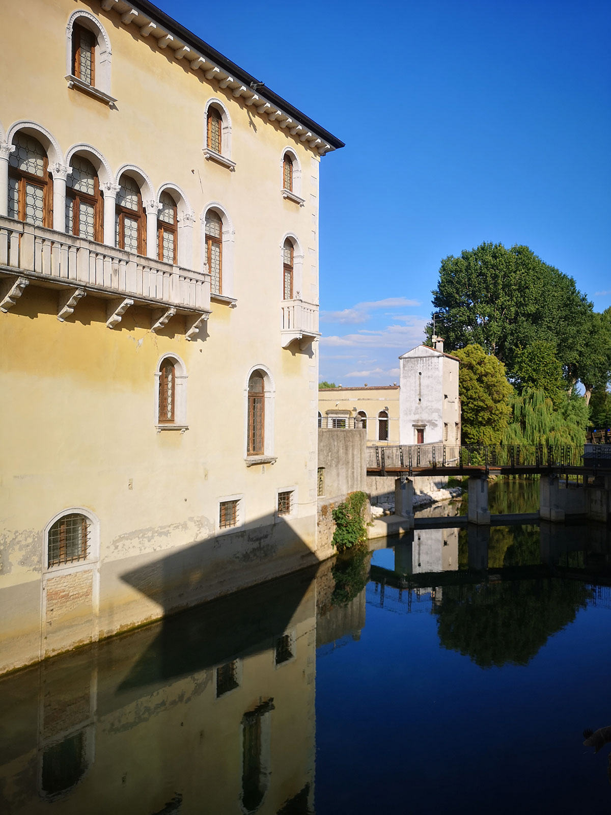
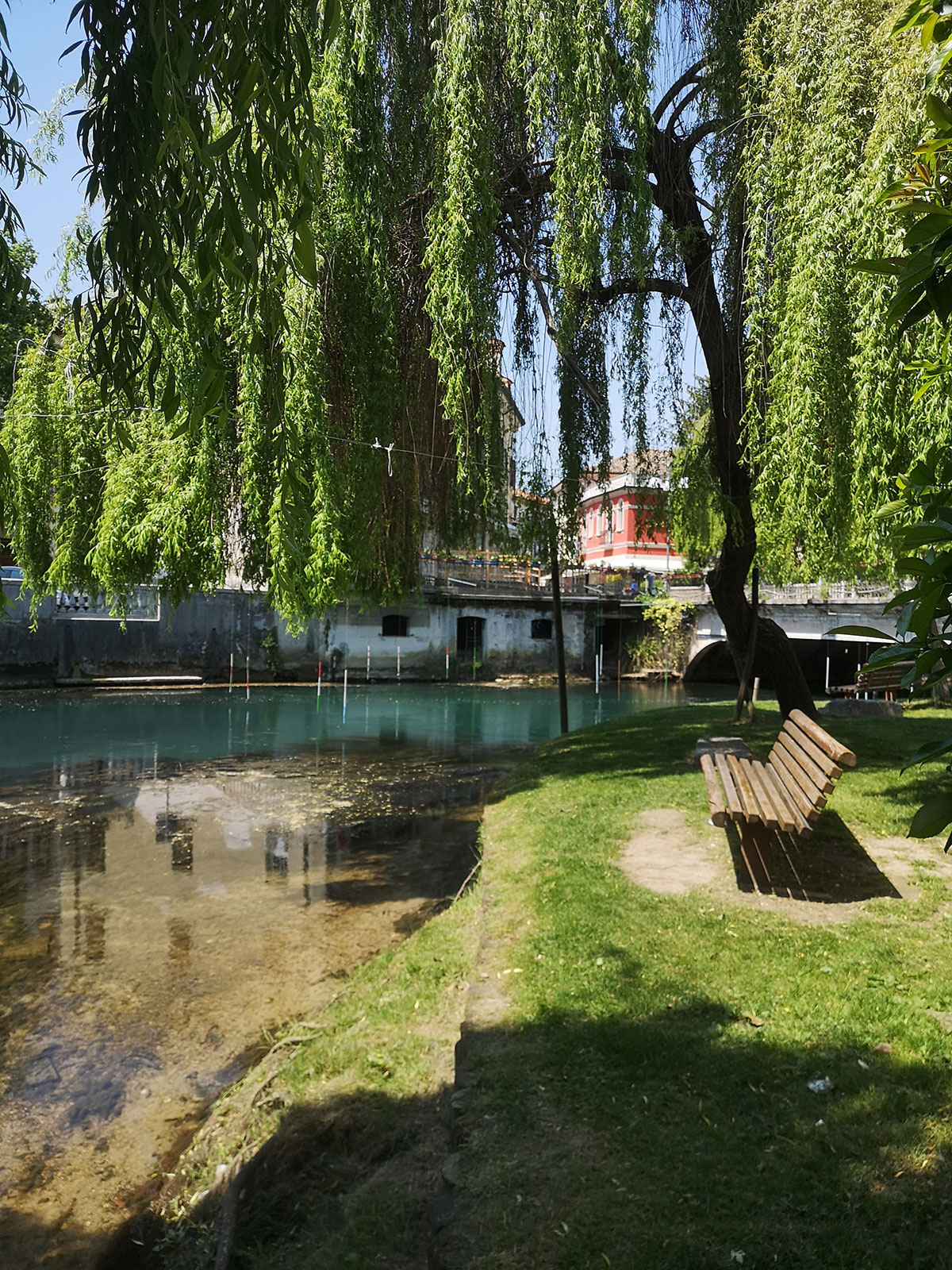
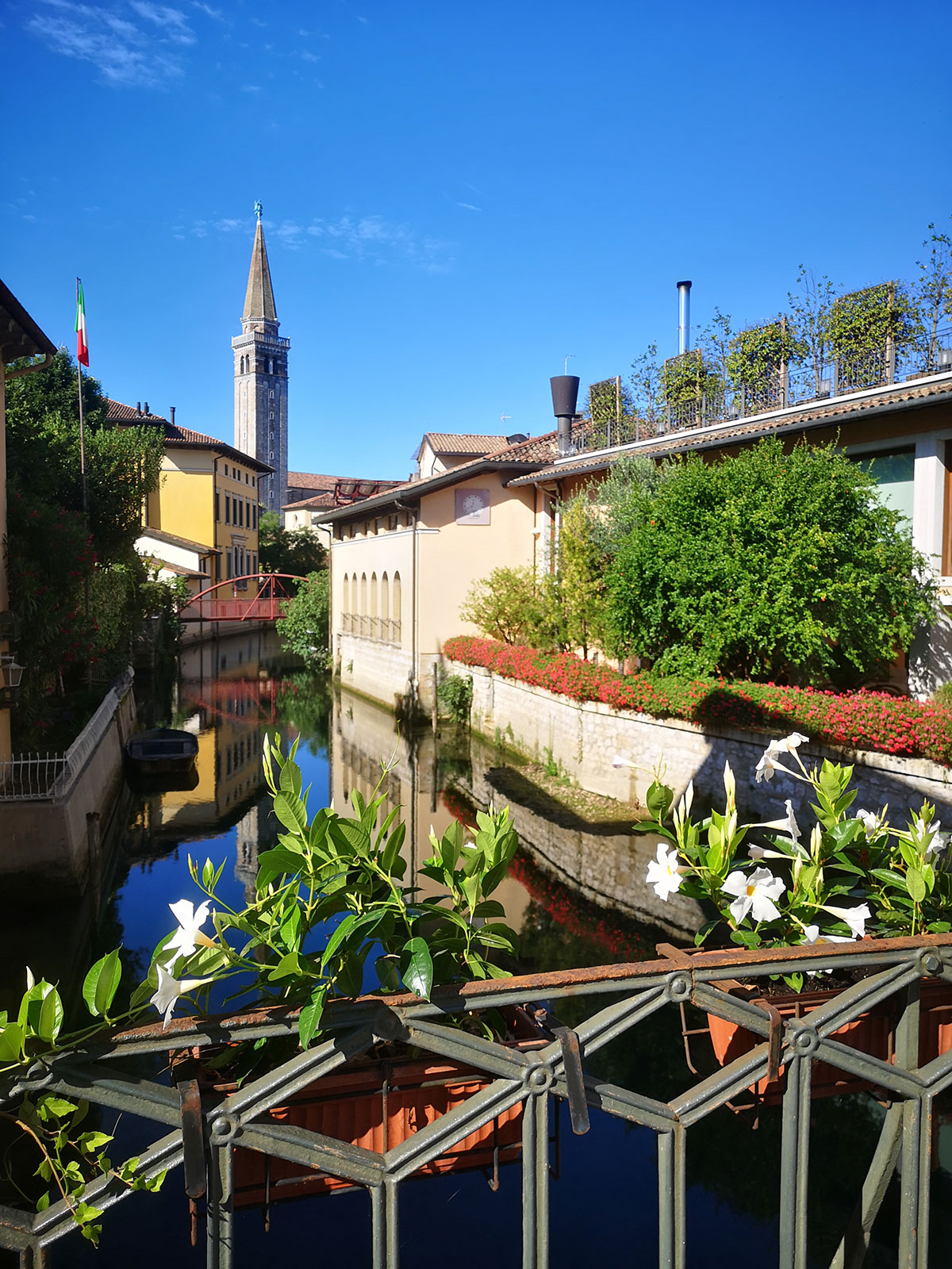
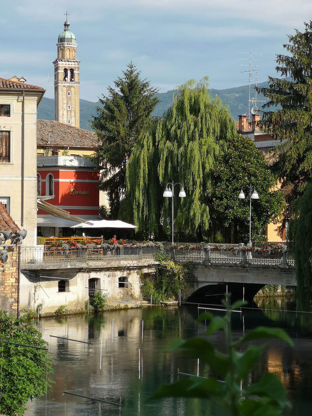
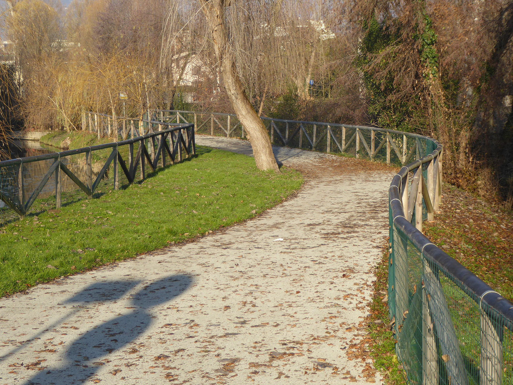
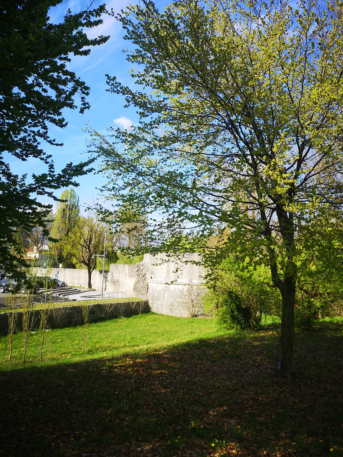
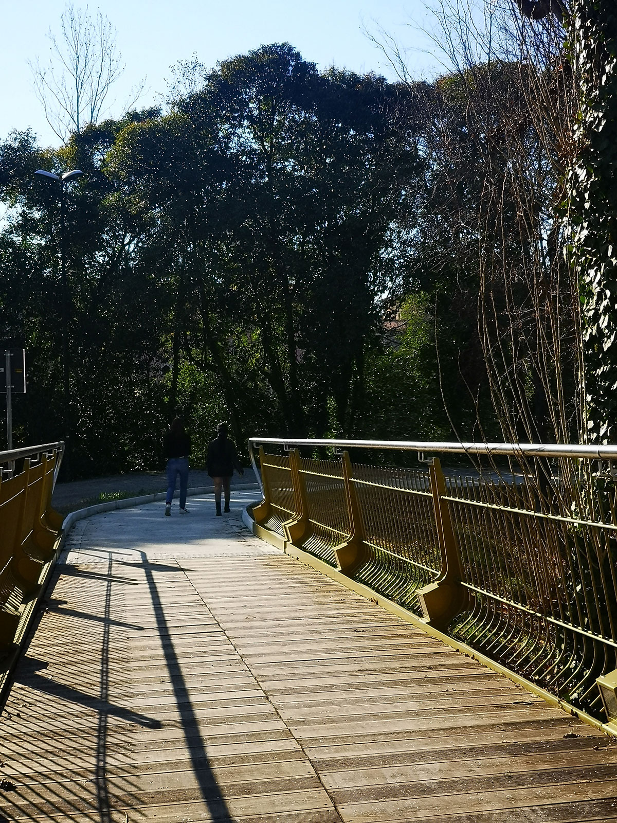
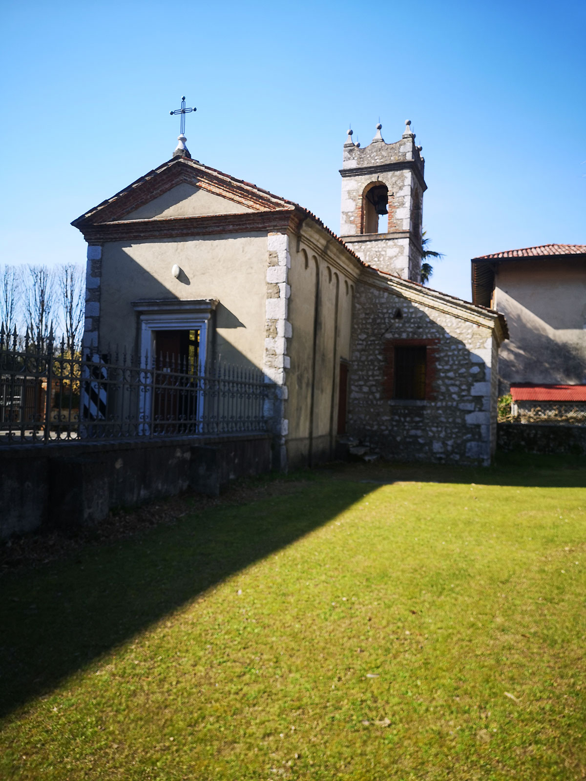
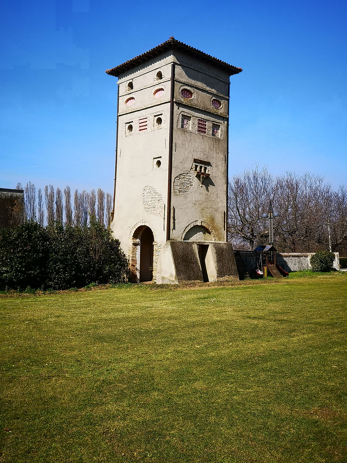
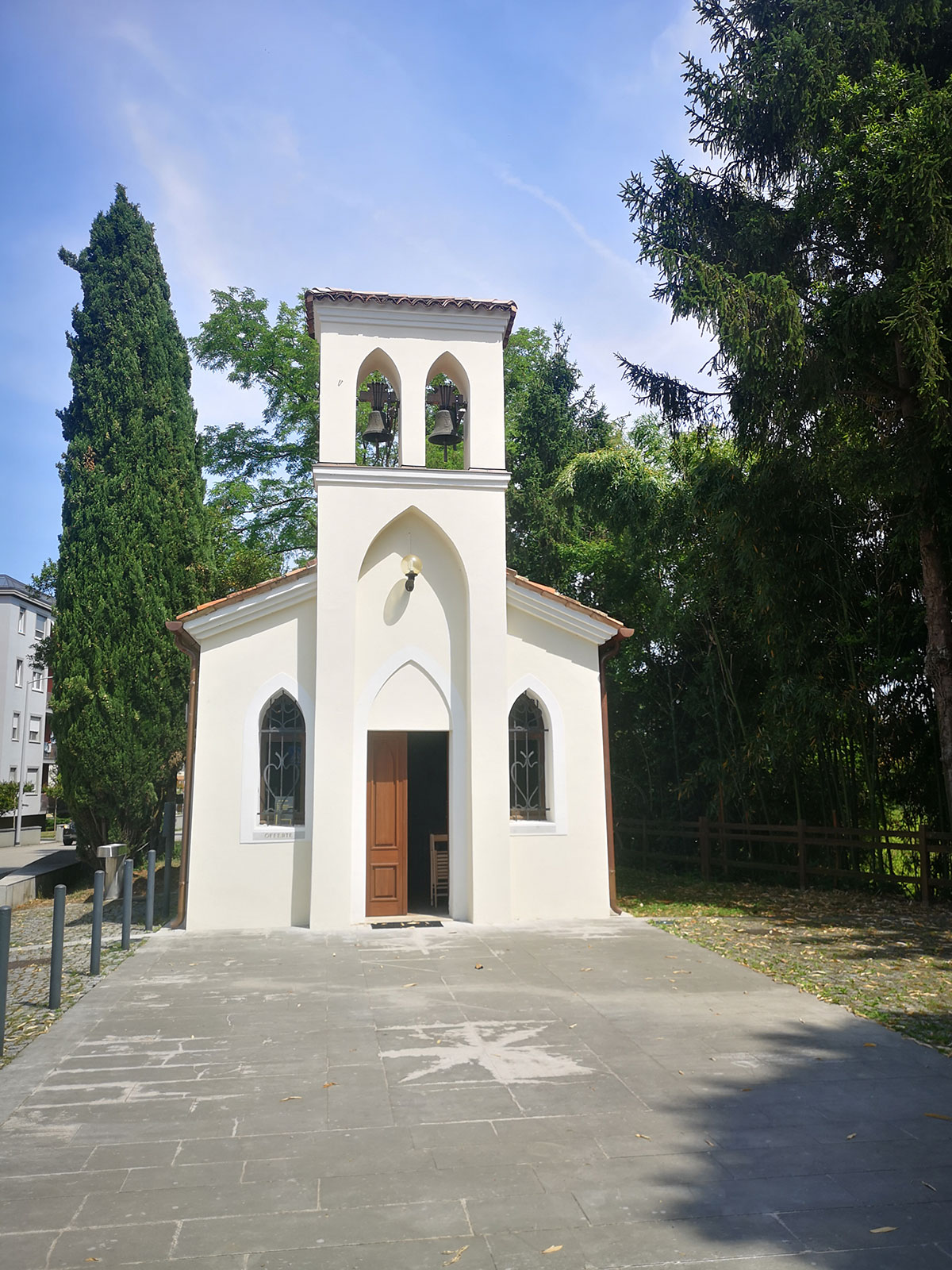
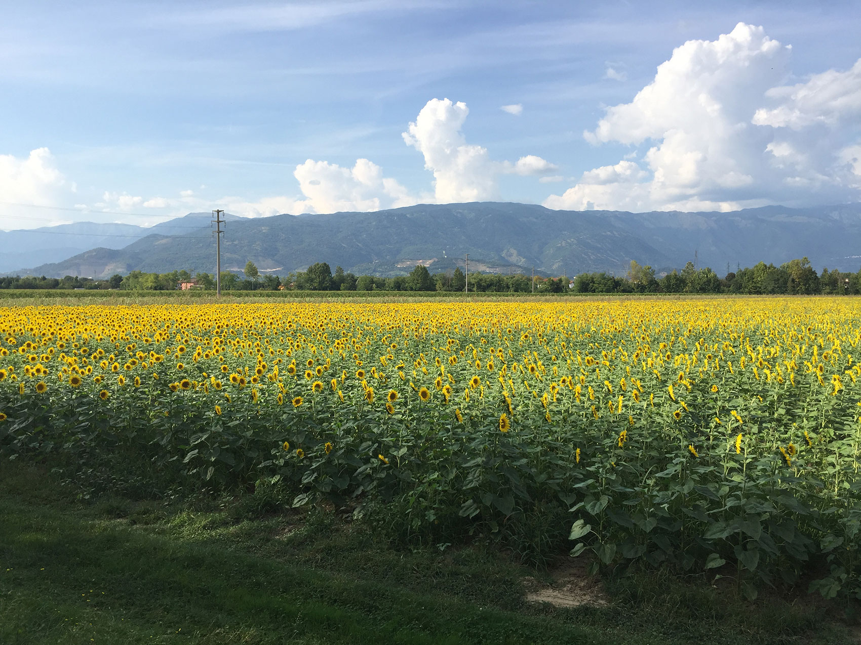
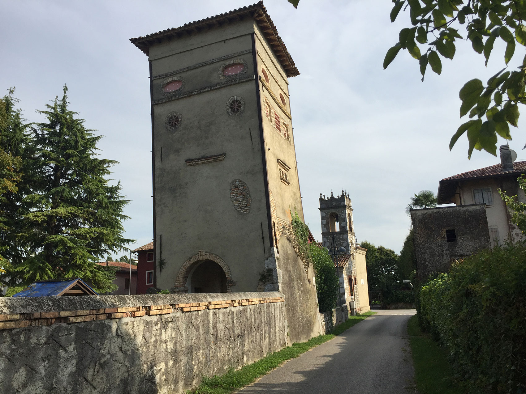
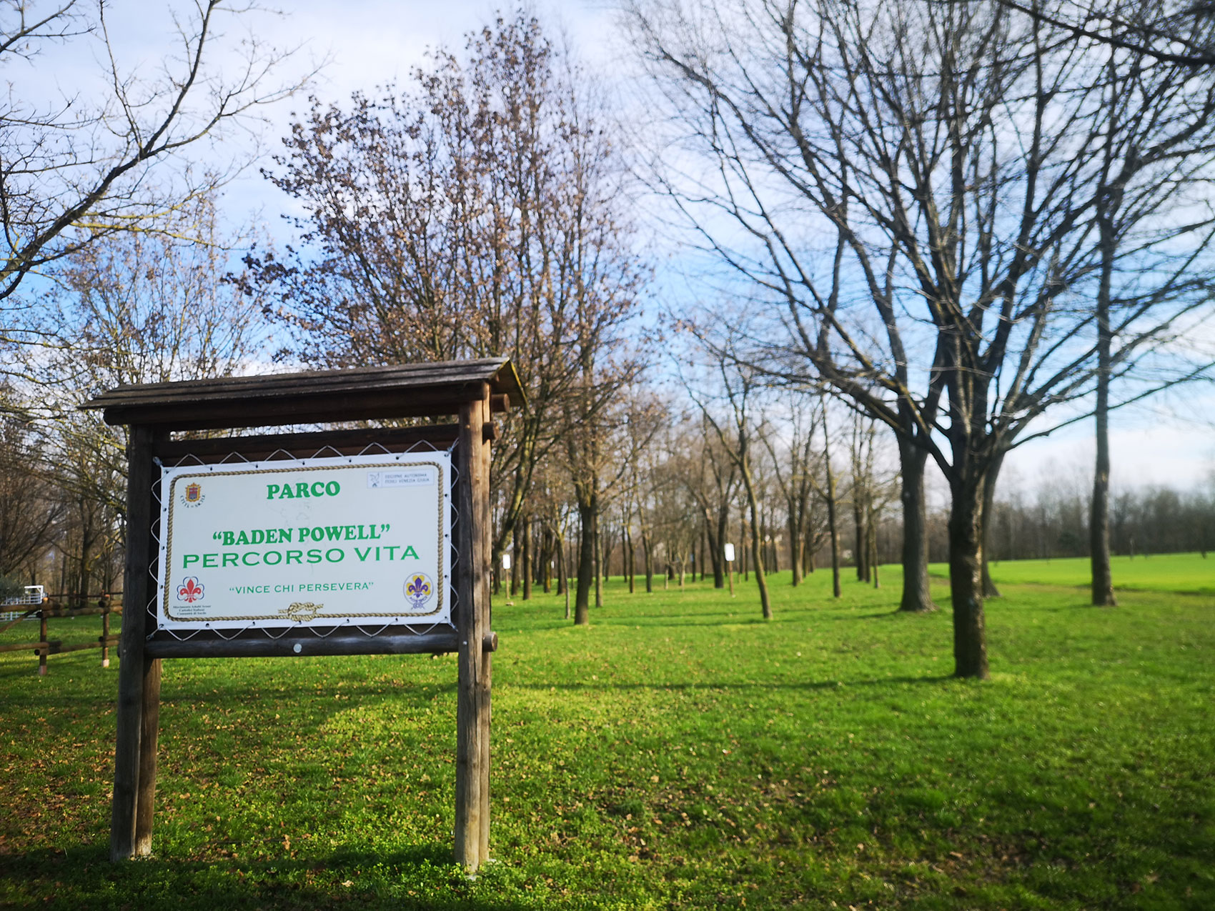
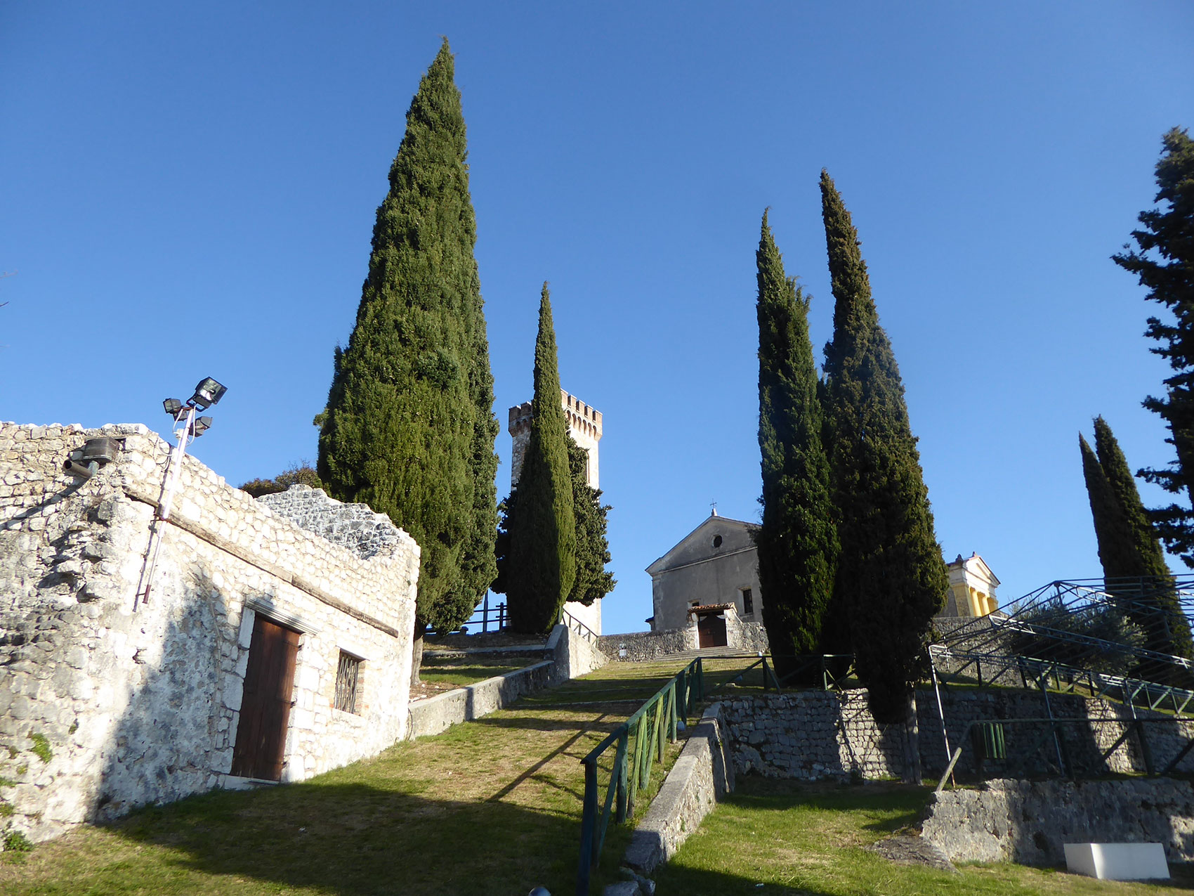
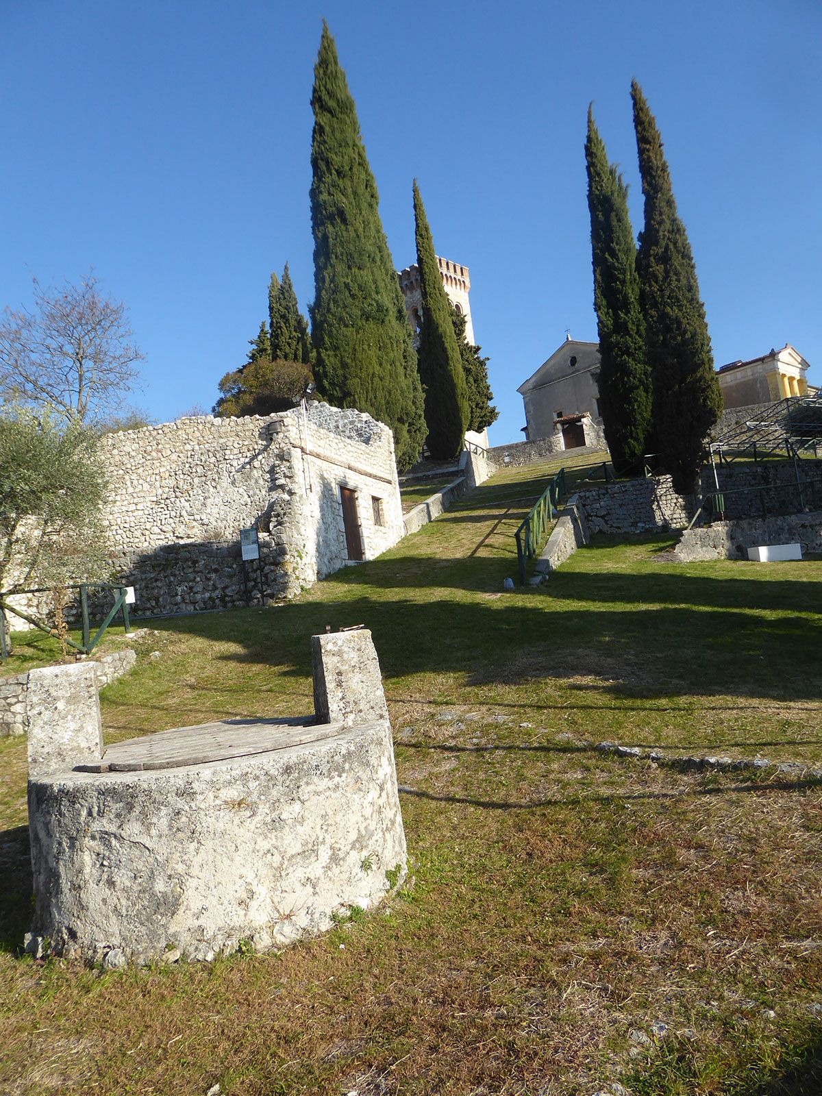
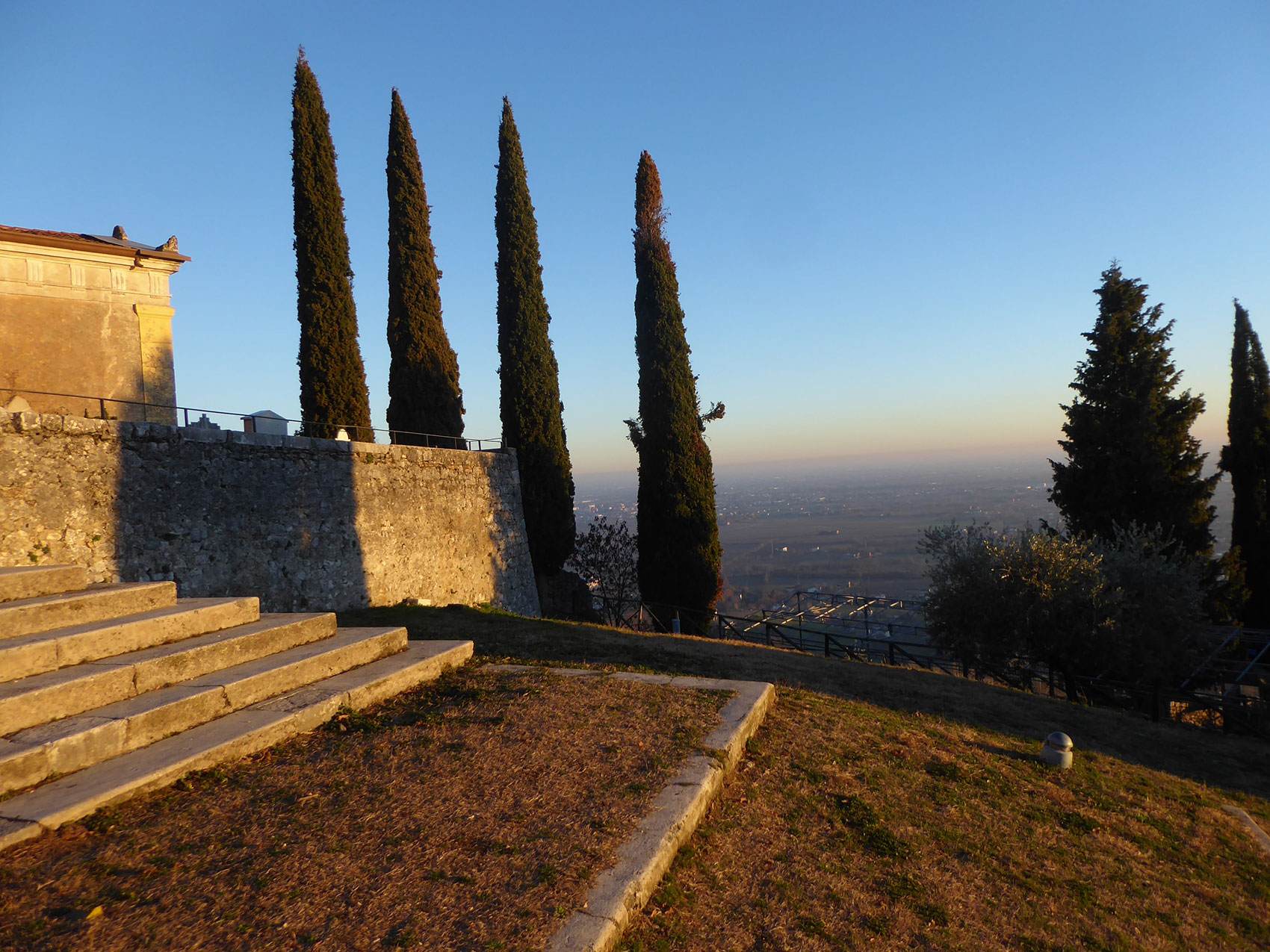
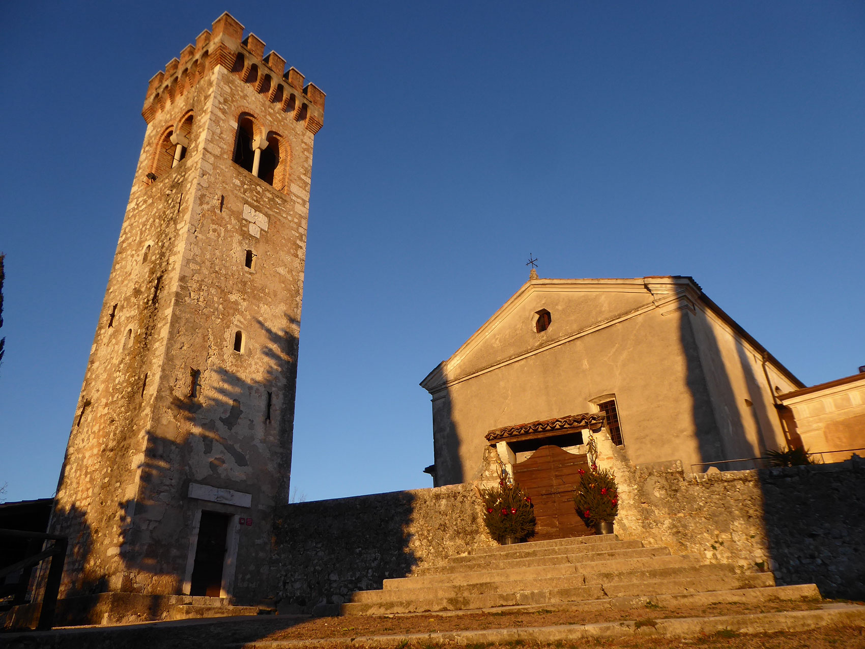
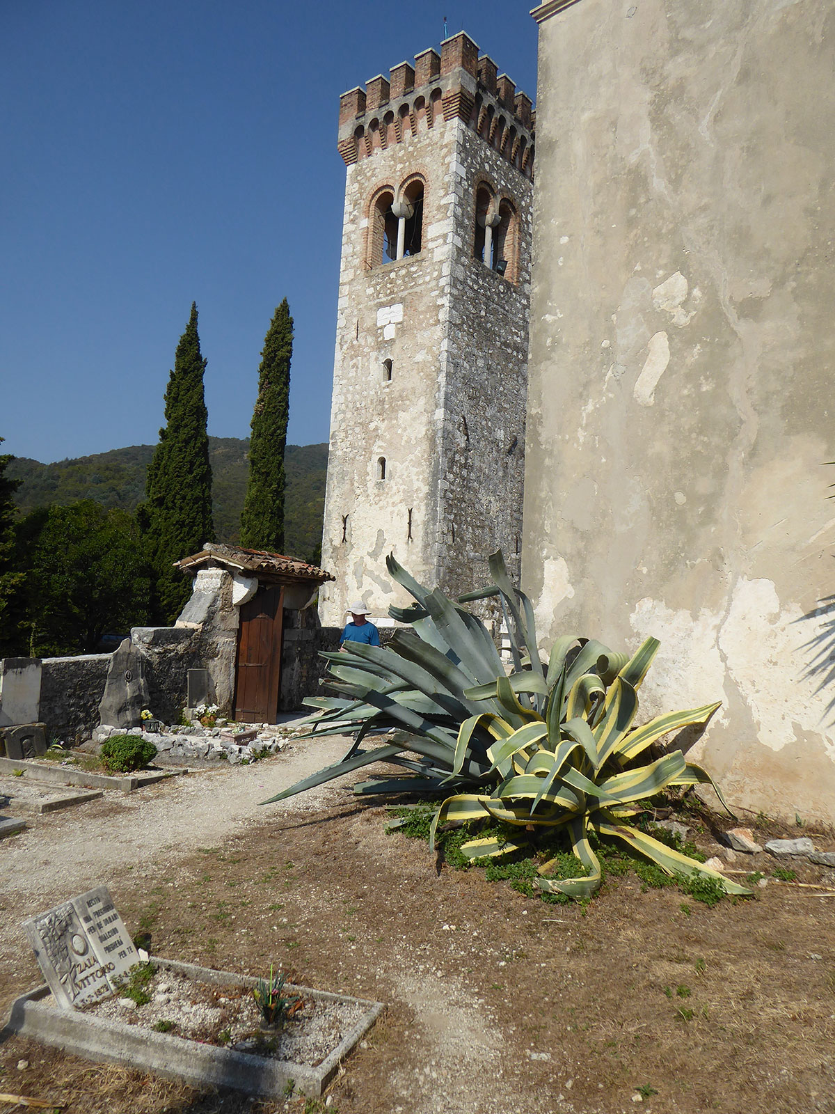
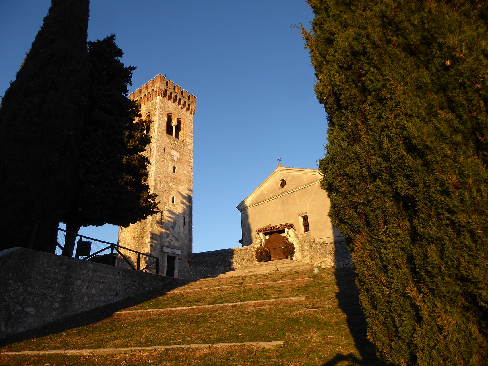
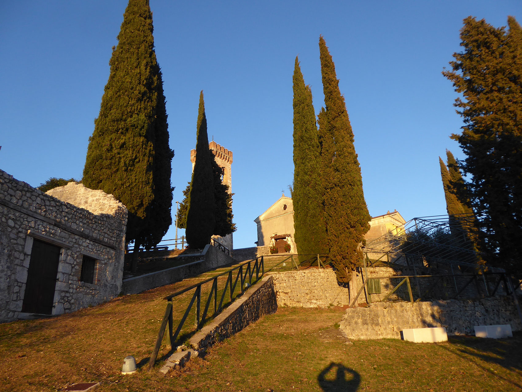
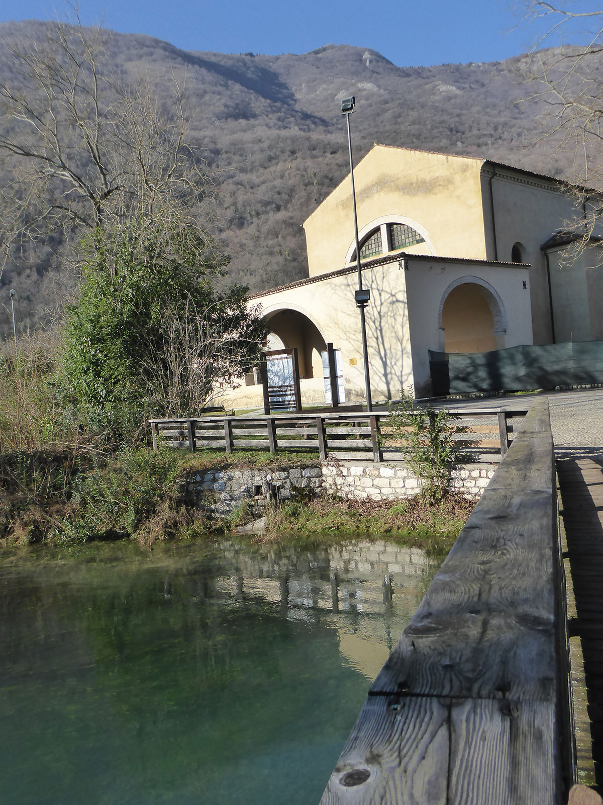
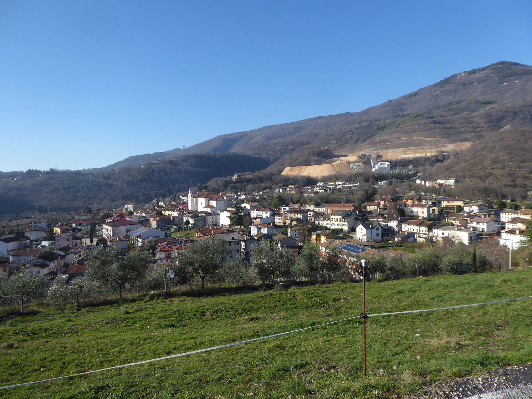
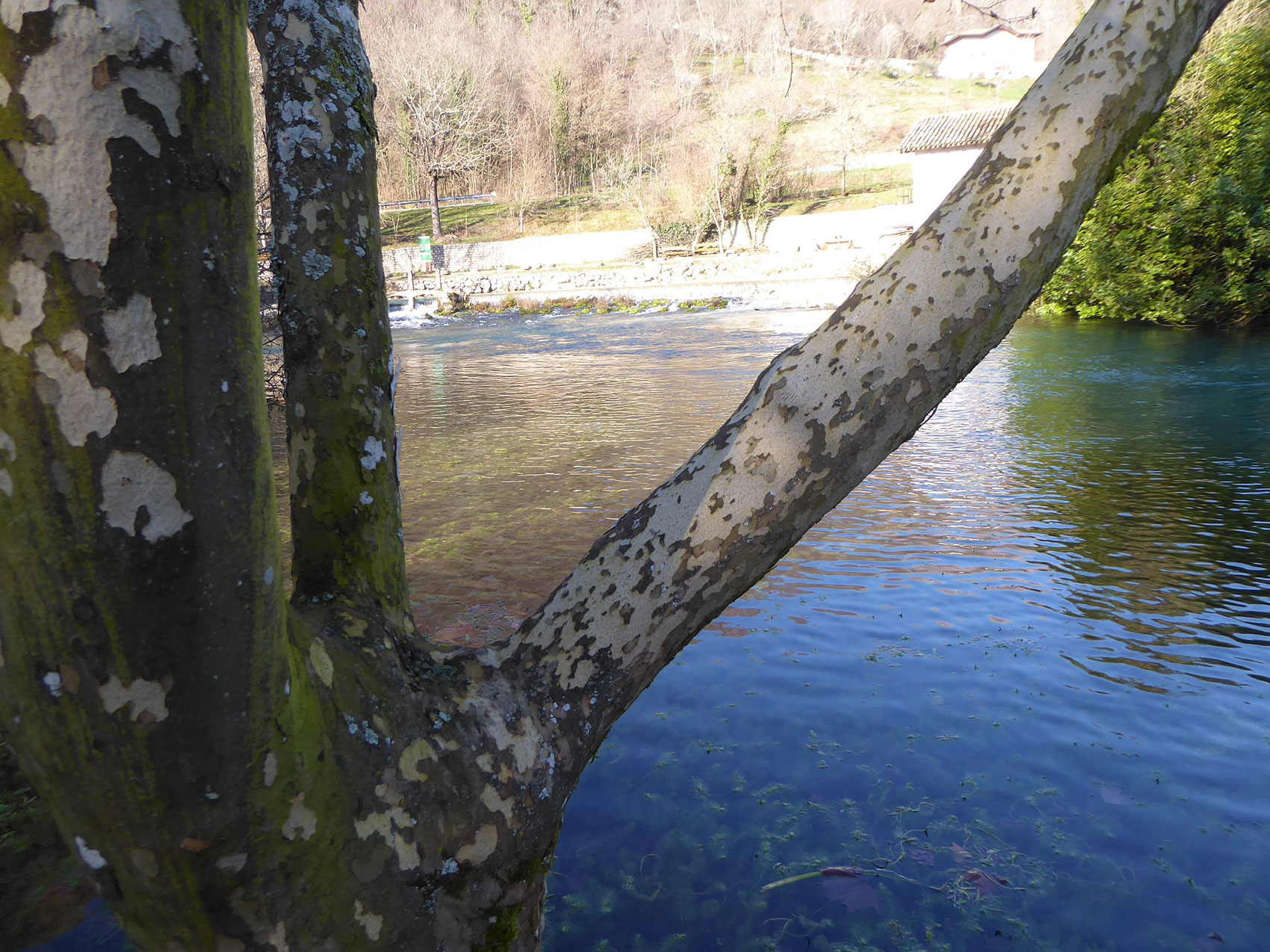
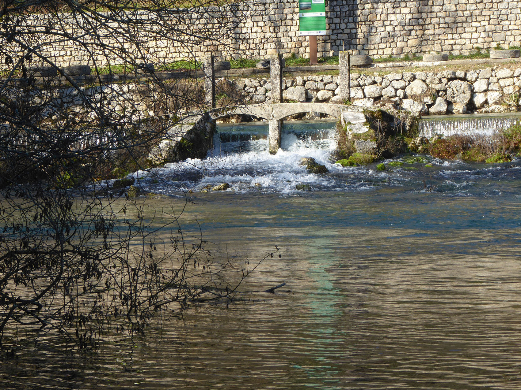
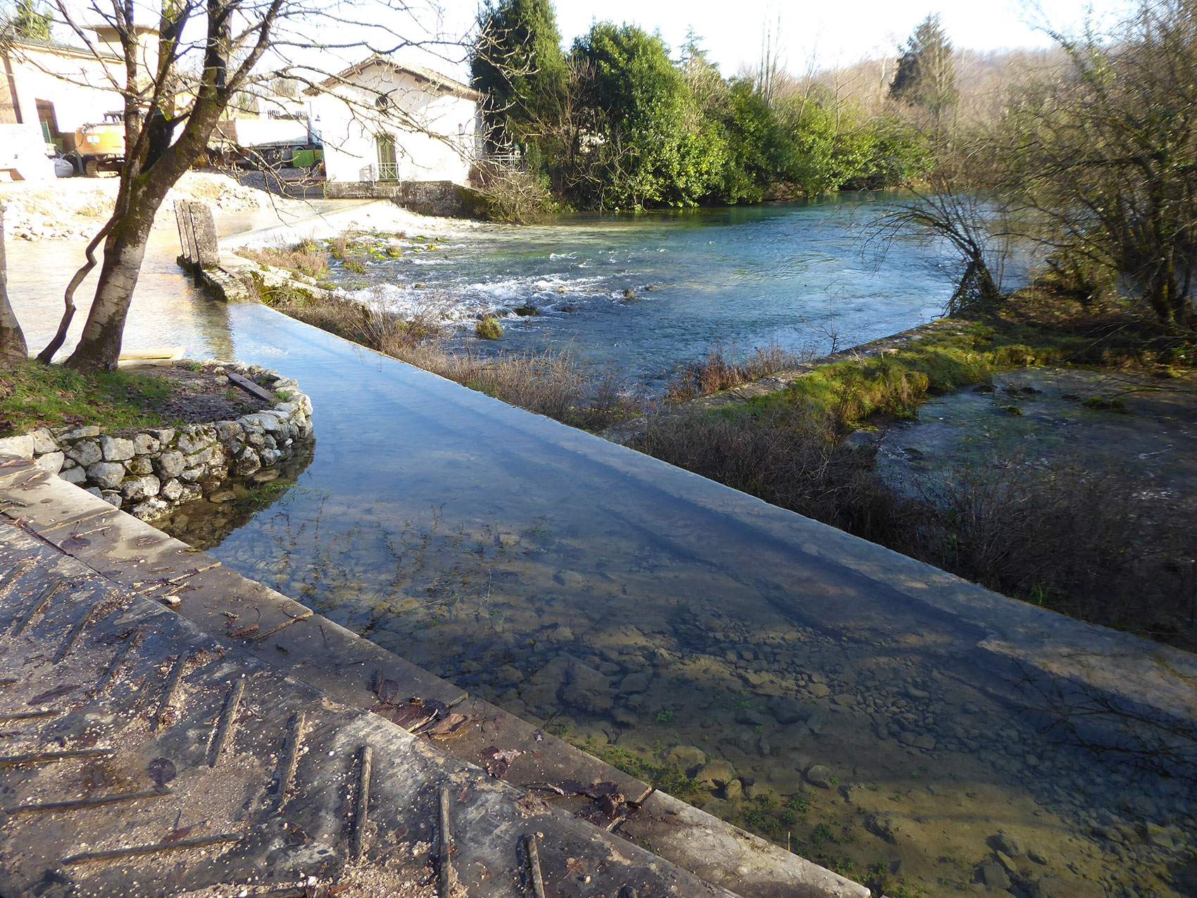
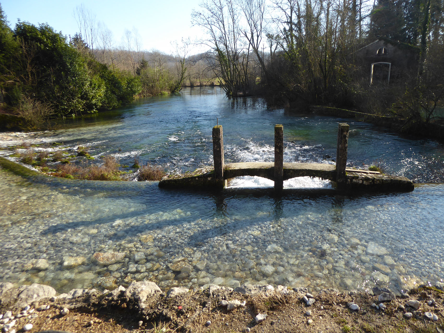
In Sacile and its surroundings, you can follow different itineraries, discovering new places, observing the landscape and the charm of the Garden of the Serenissima with all its cultural and naturalistic heritage.

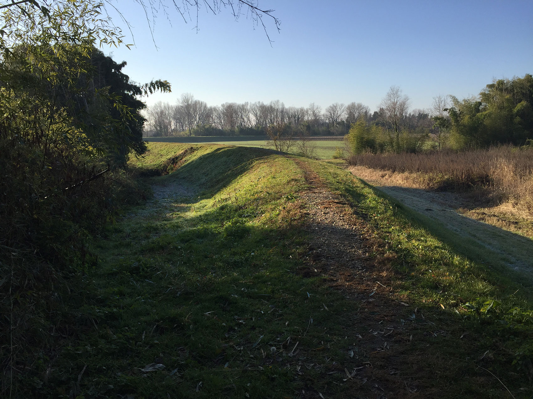
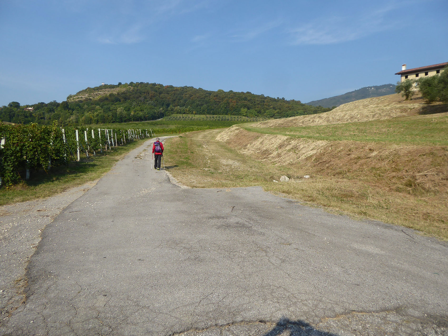
Trekking is beautiful, wholesome and beneficial. Of course, it is also important for the walker to choose pleasant places away from traffic and confusion. Even better if the walk brings us to visit places interesting for history and culture.

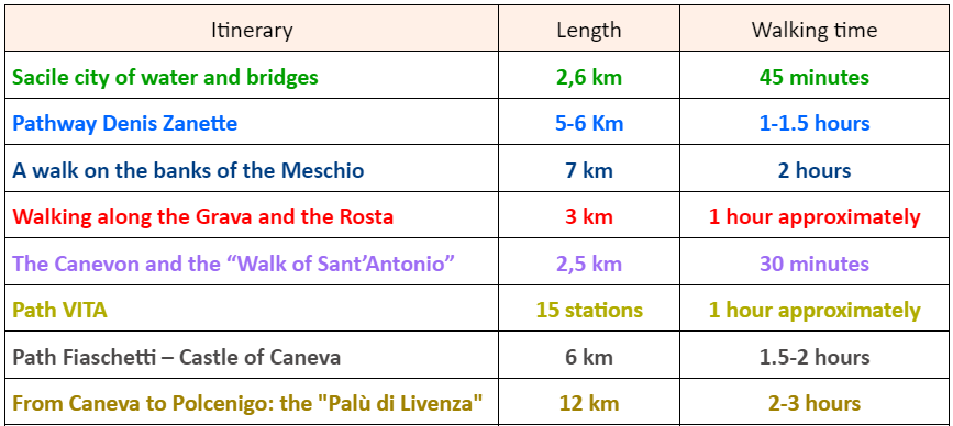
Eight itinerary proposals in the city and the surroundings
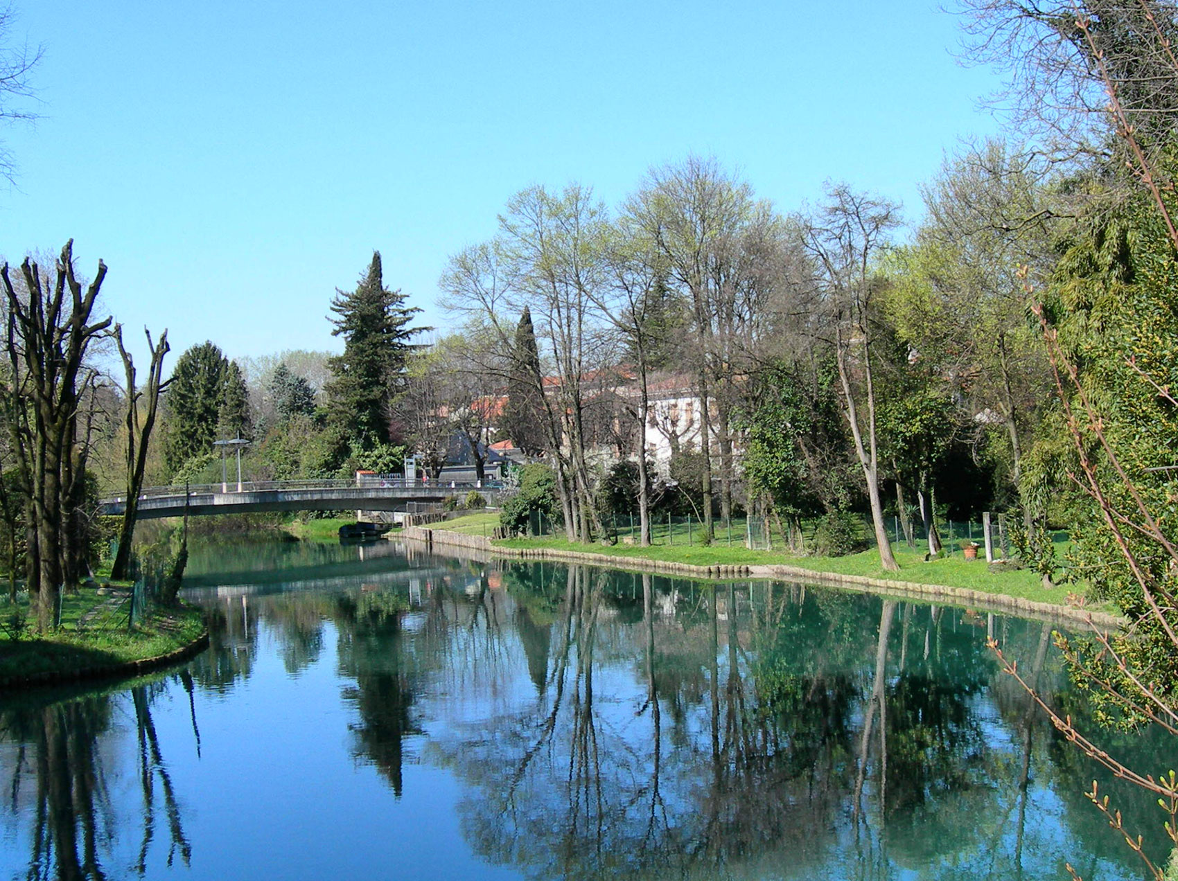
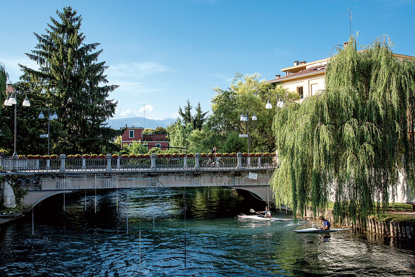
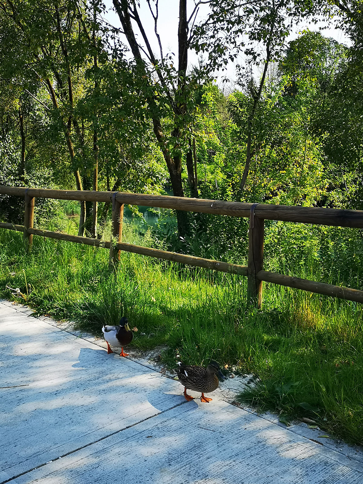
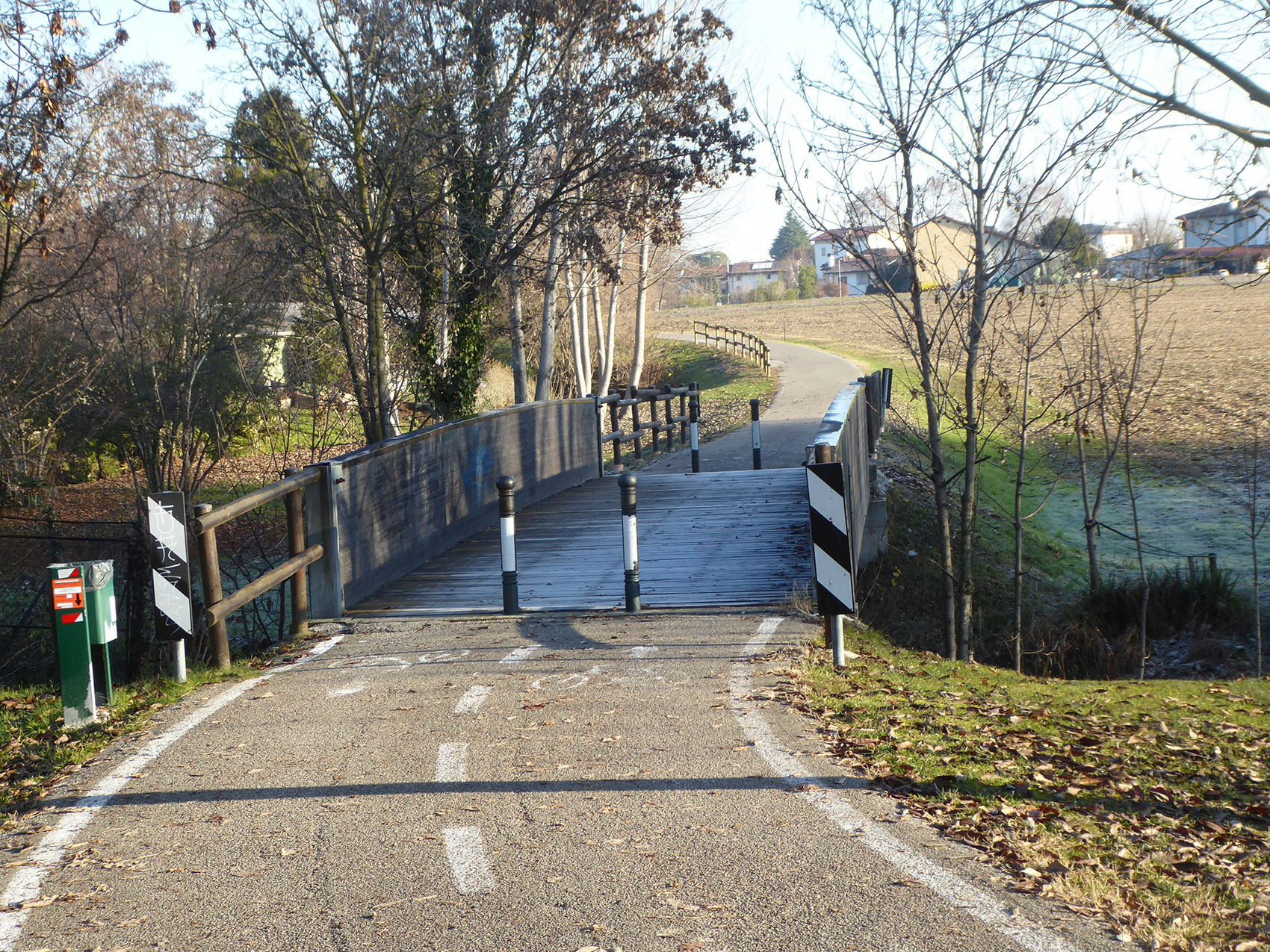
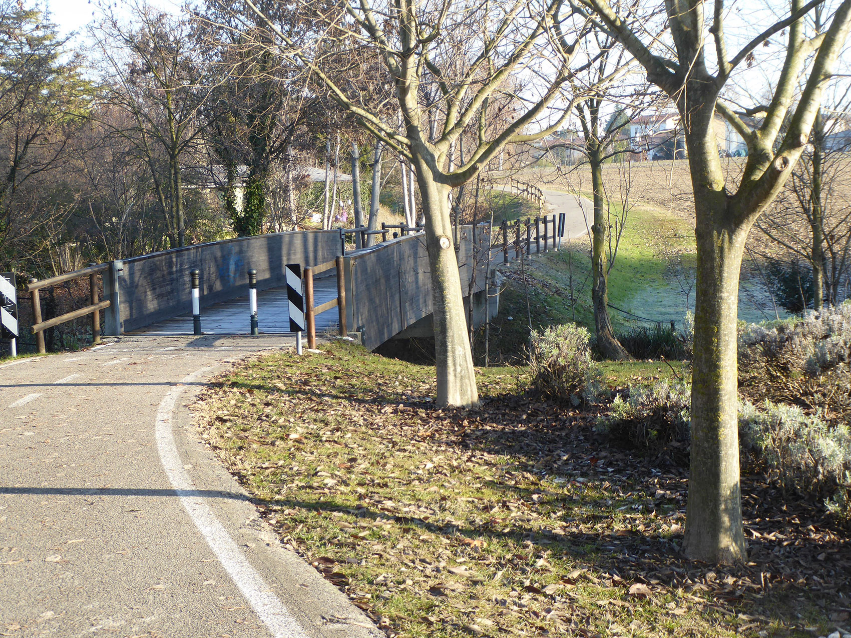
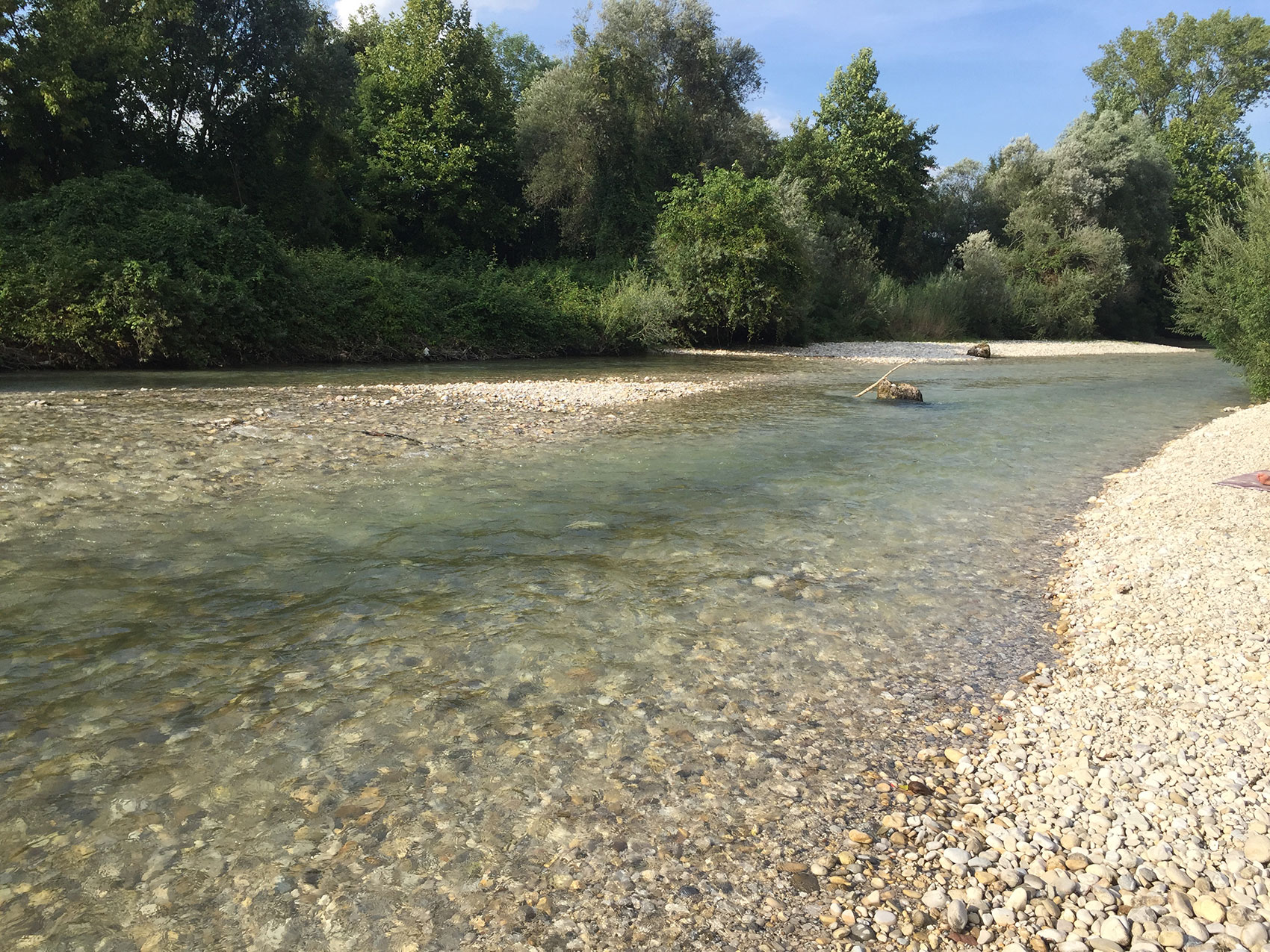
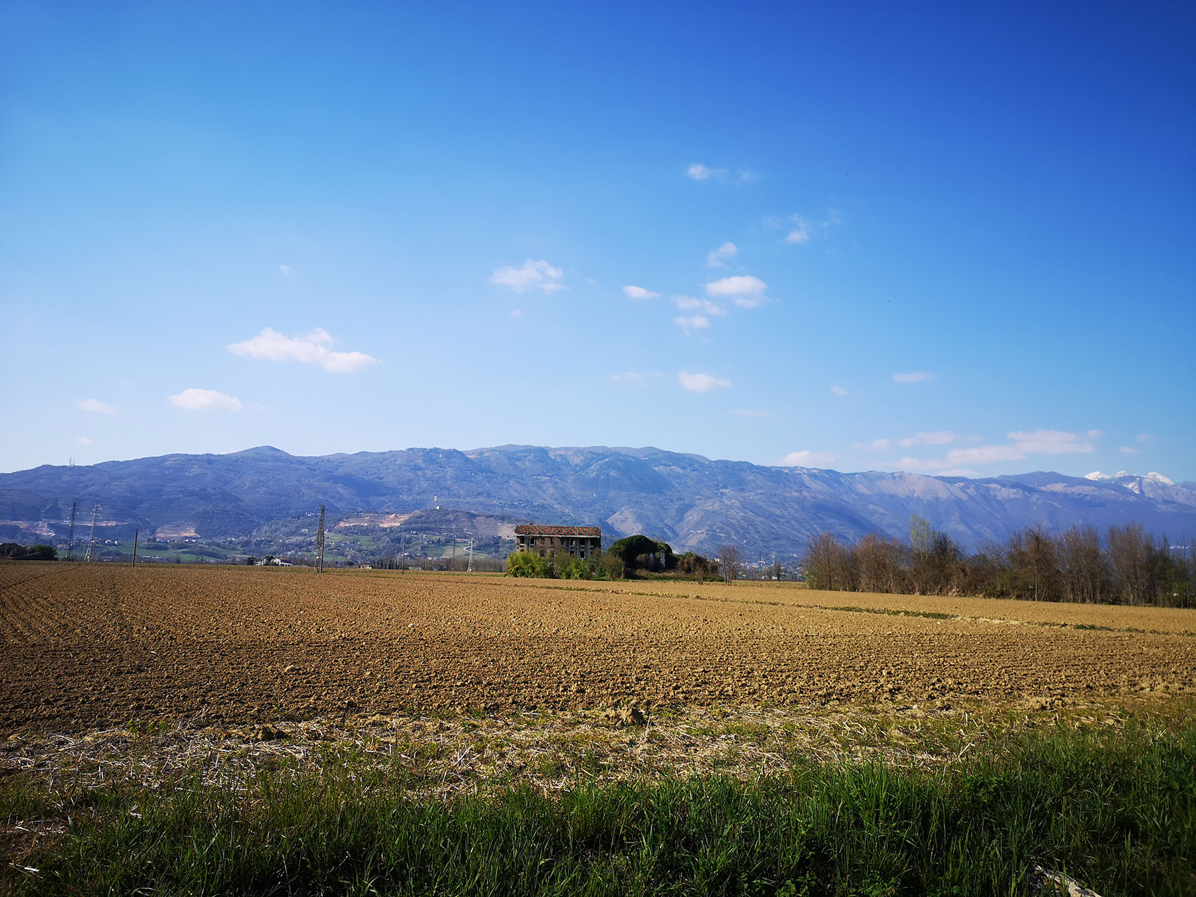
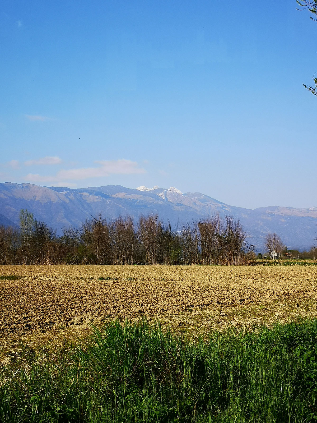
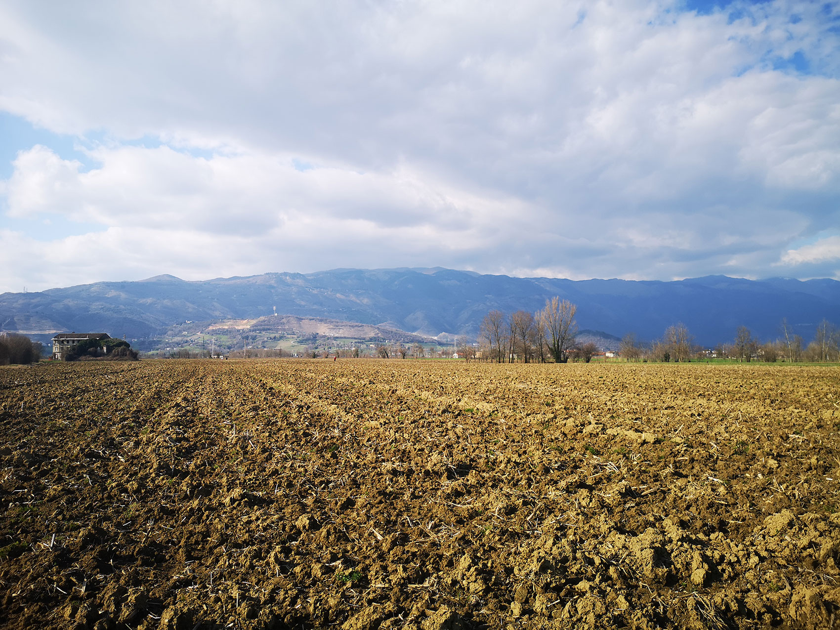
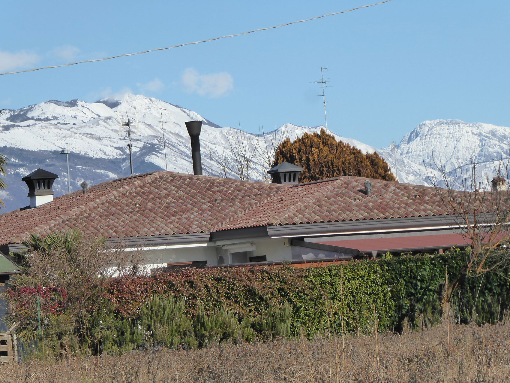
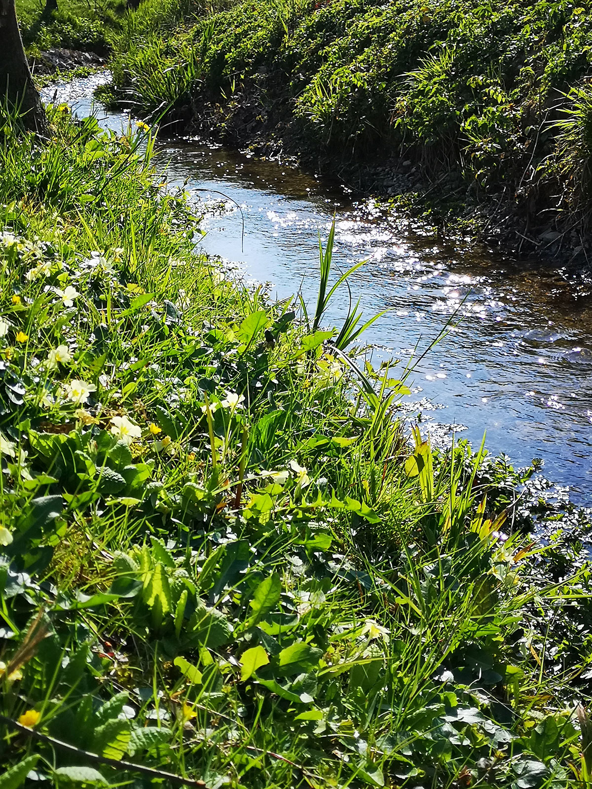
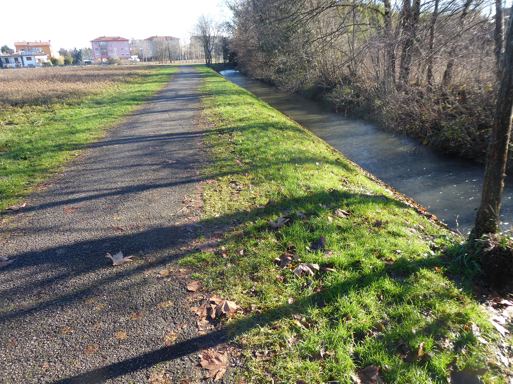
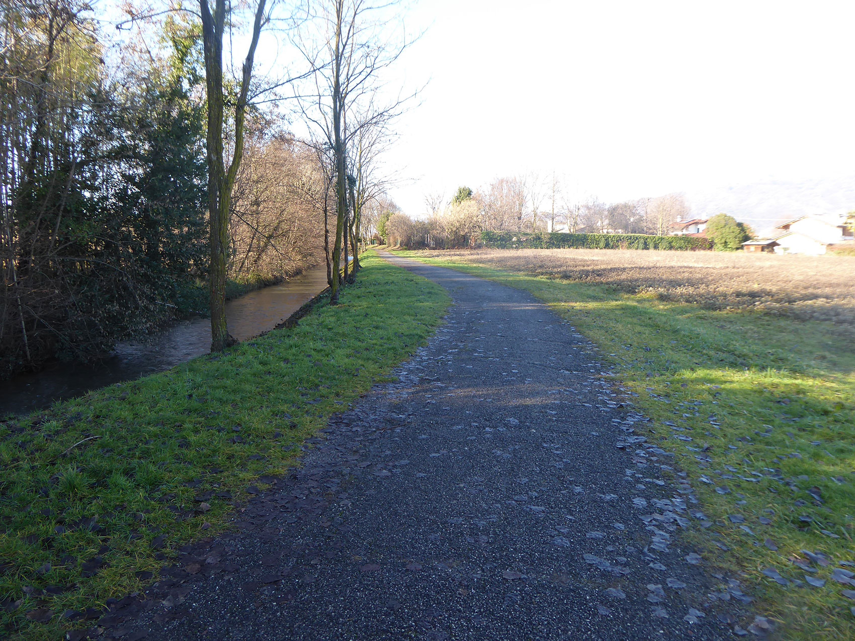
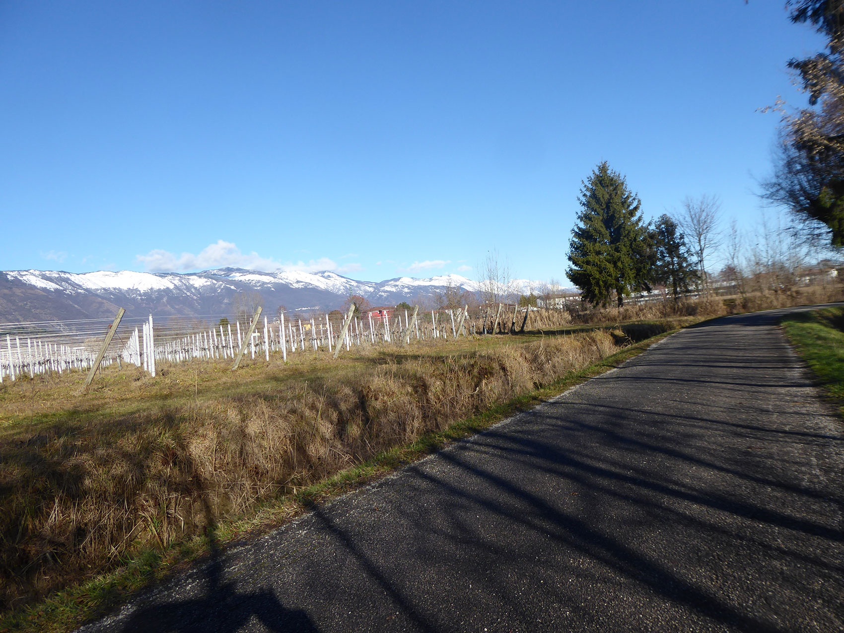
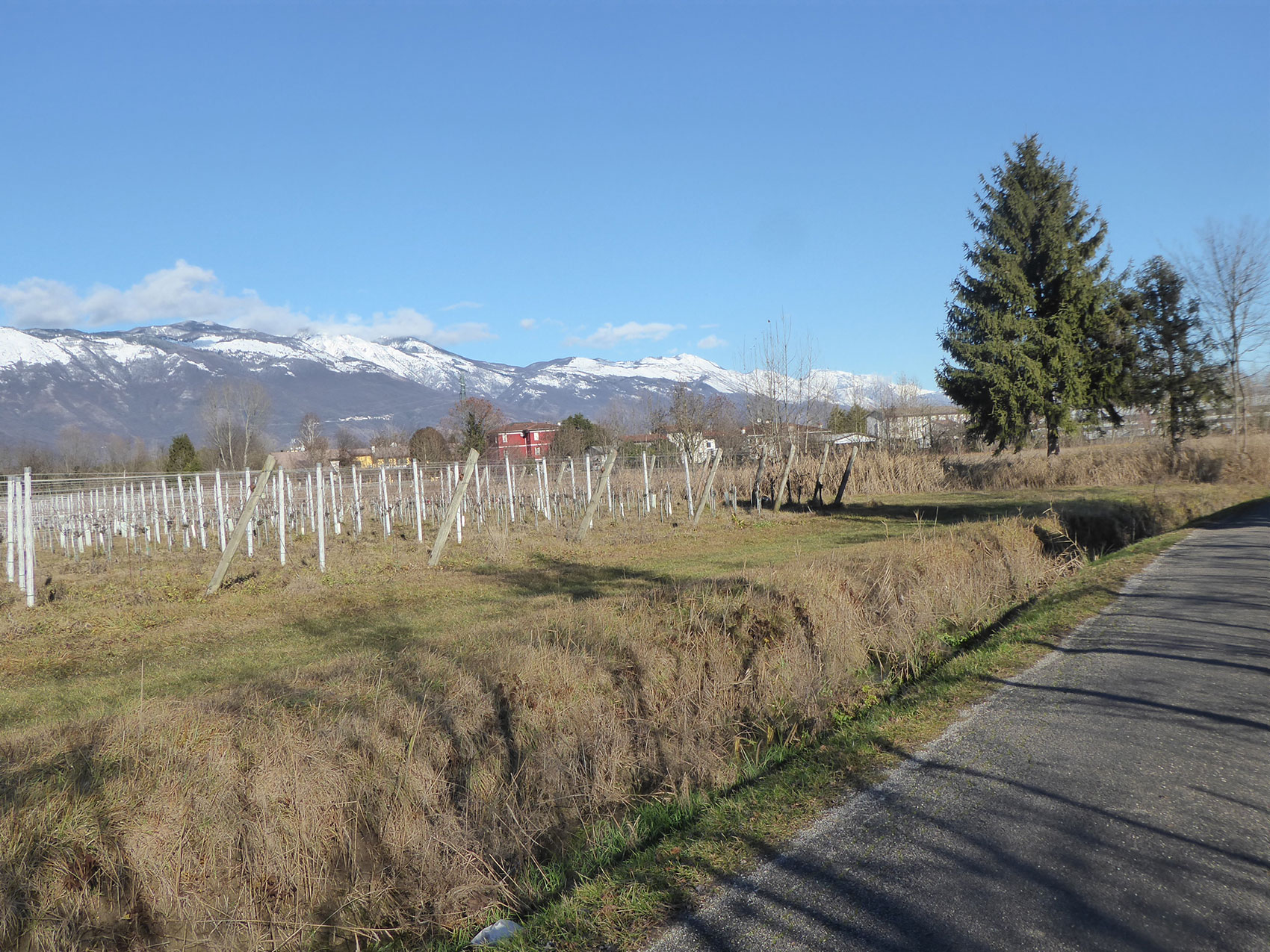
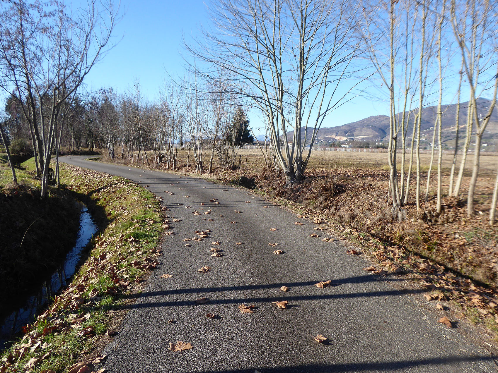
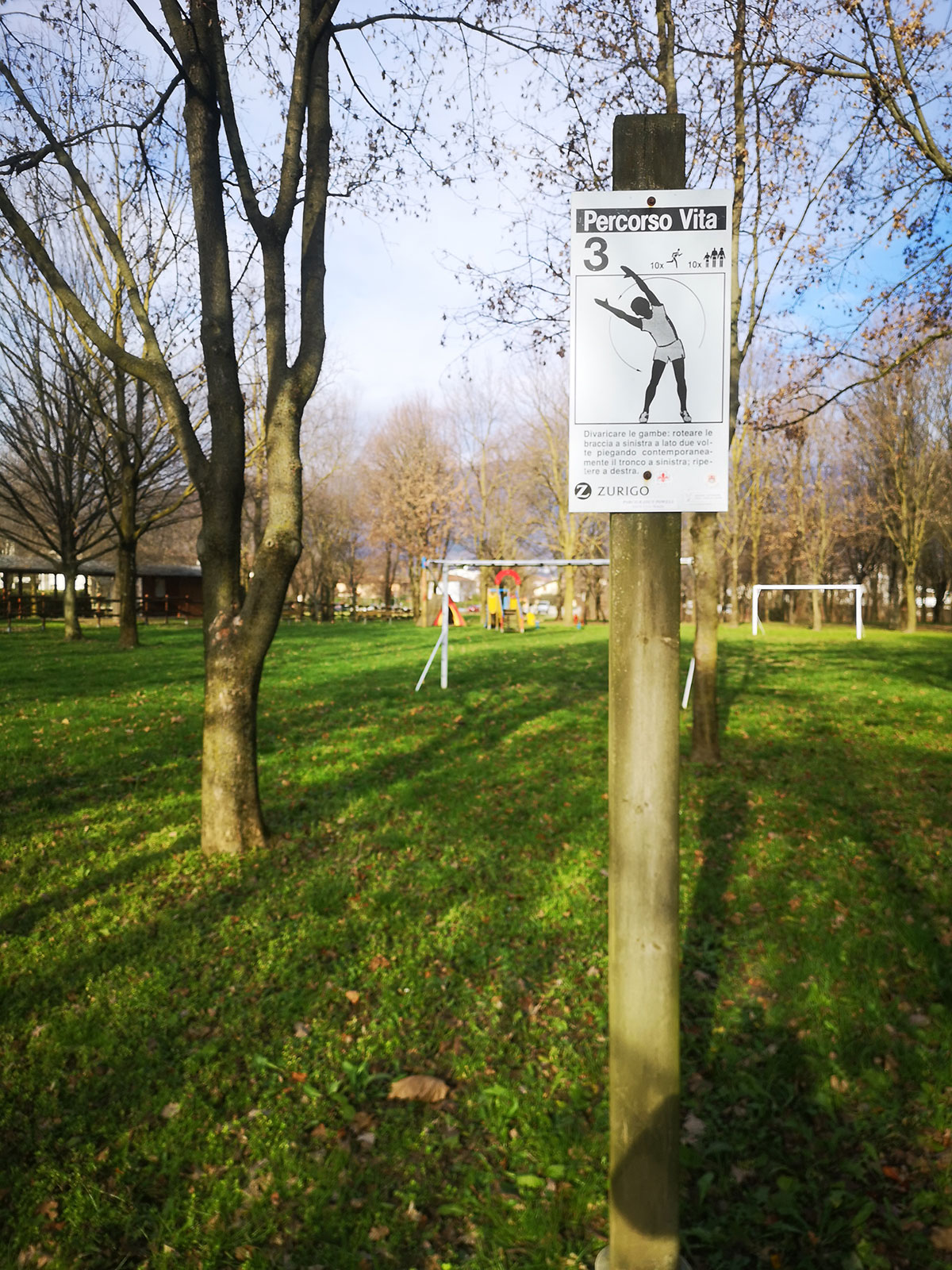
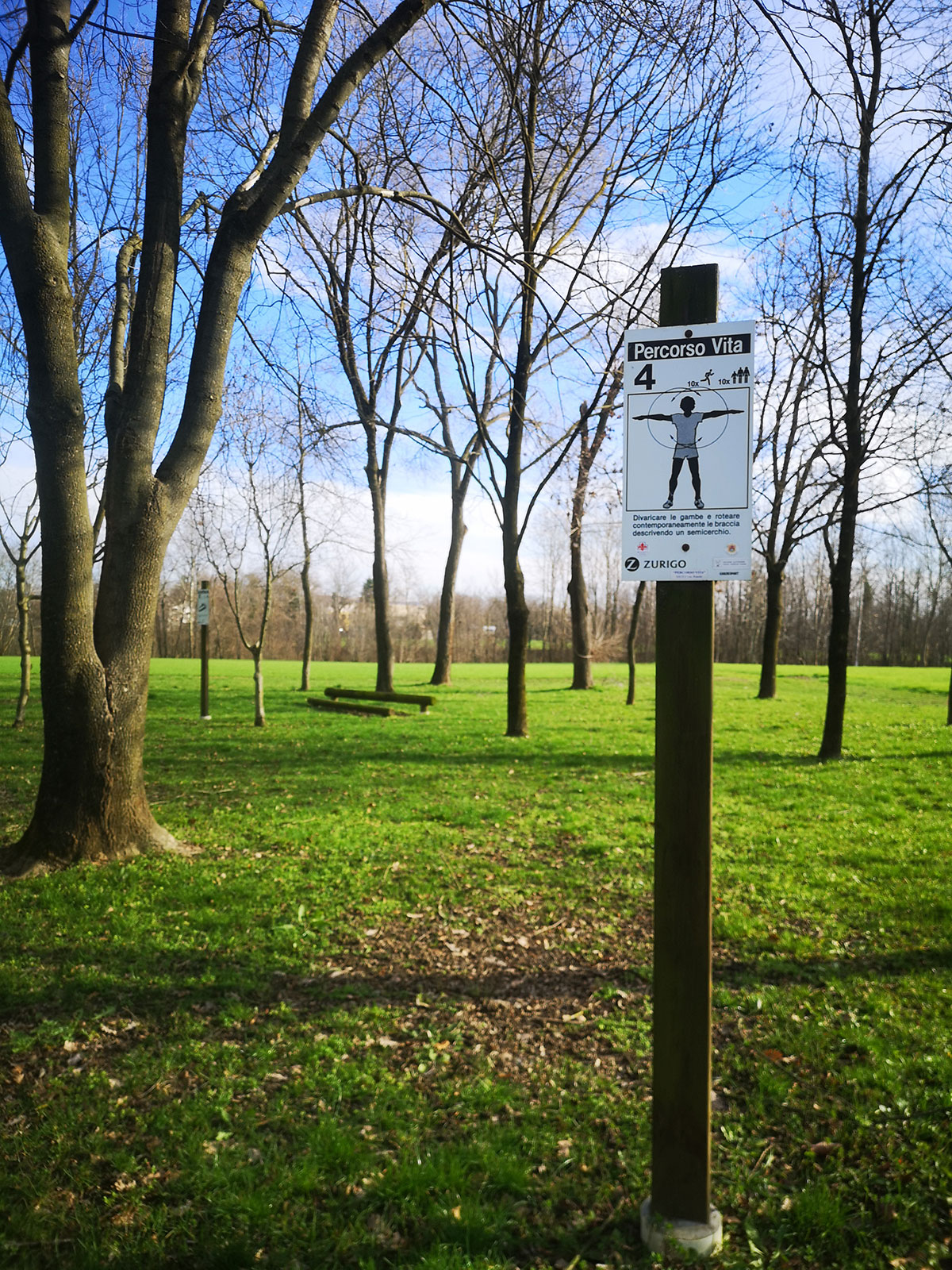
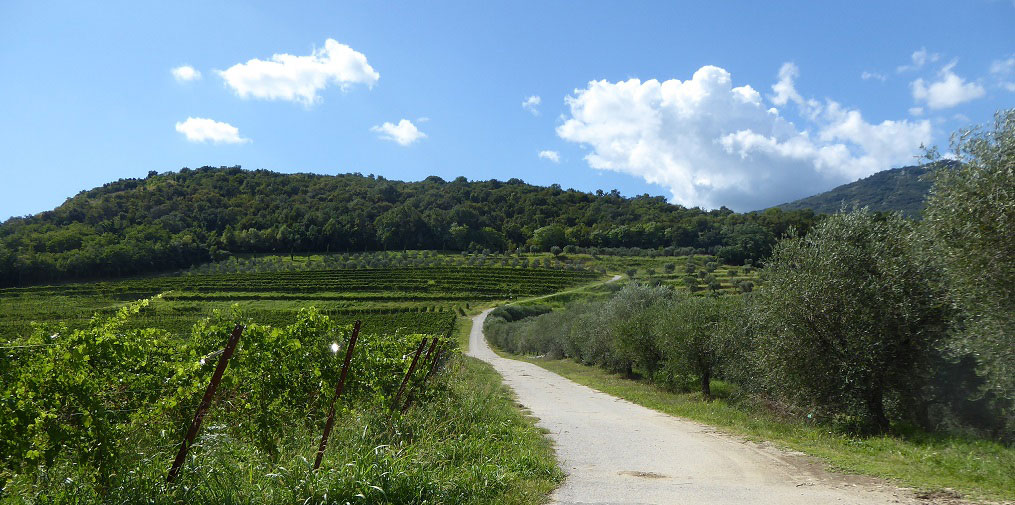
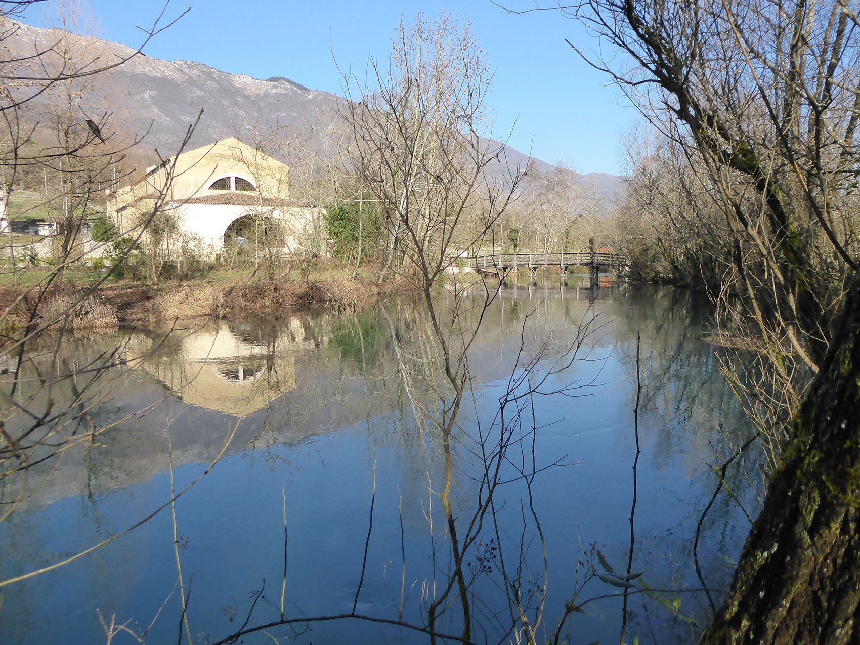
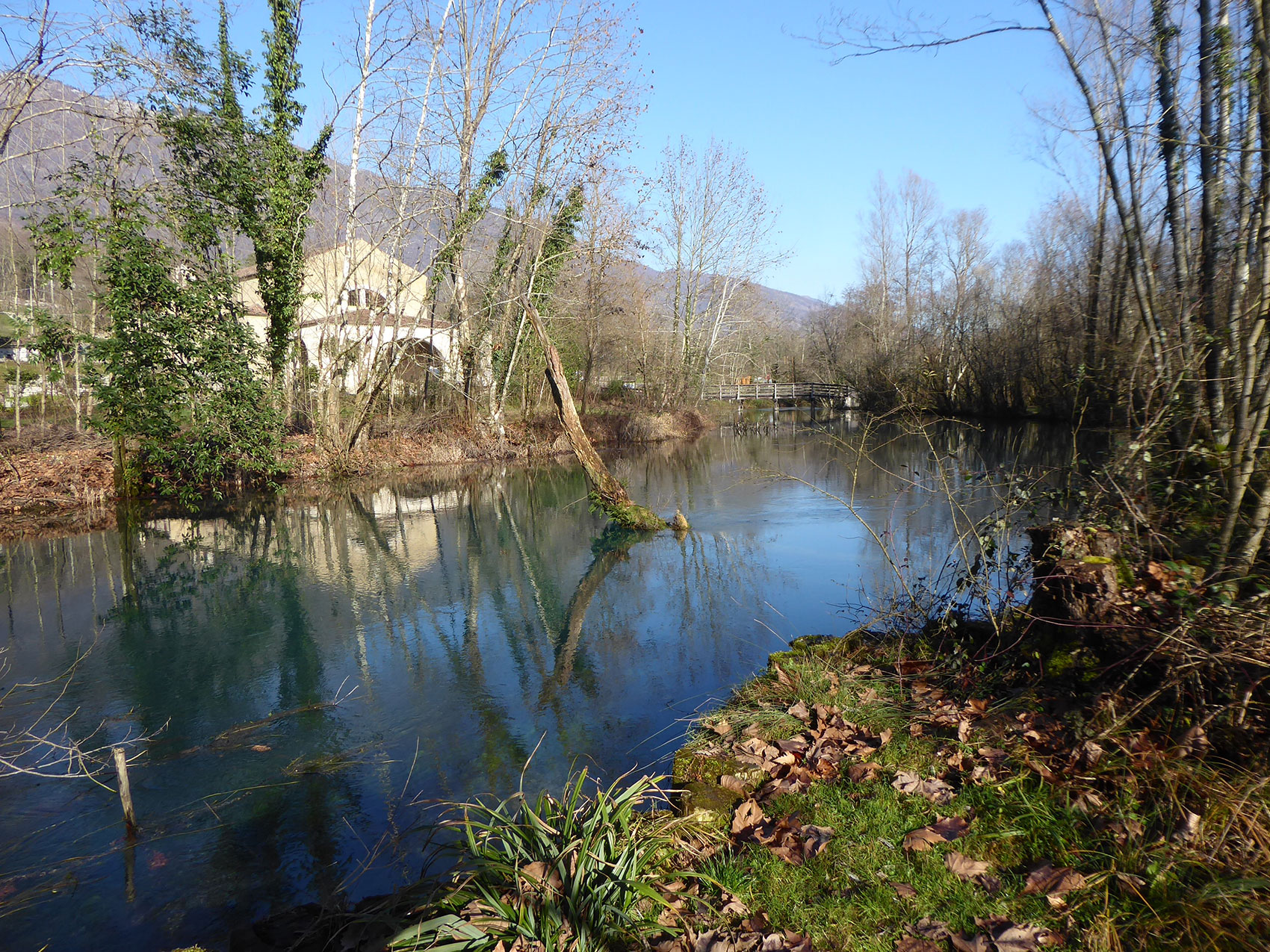
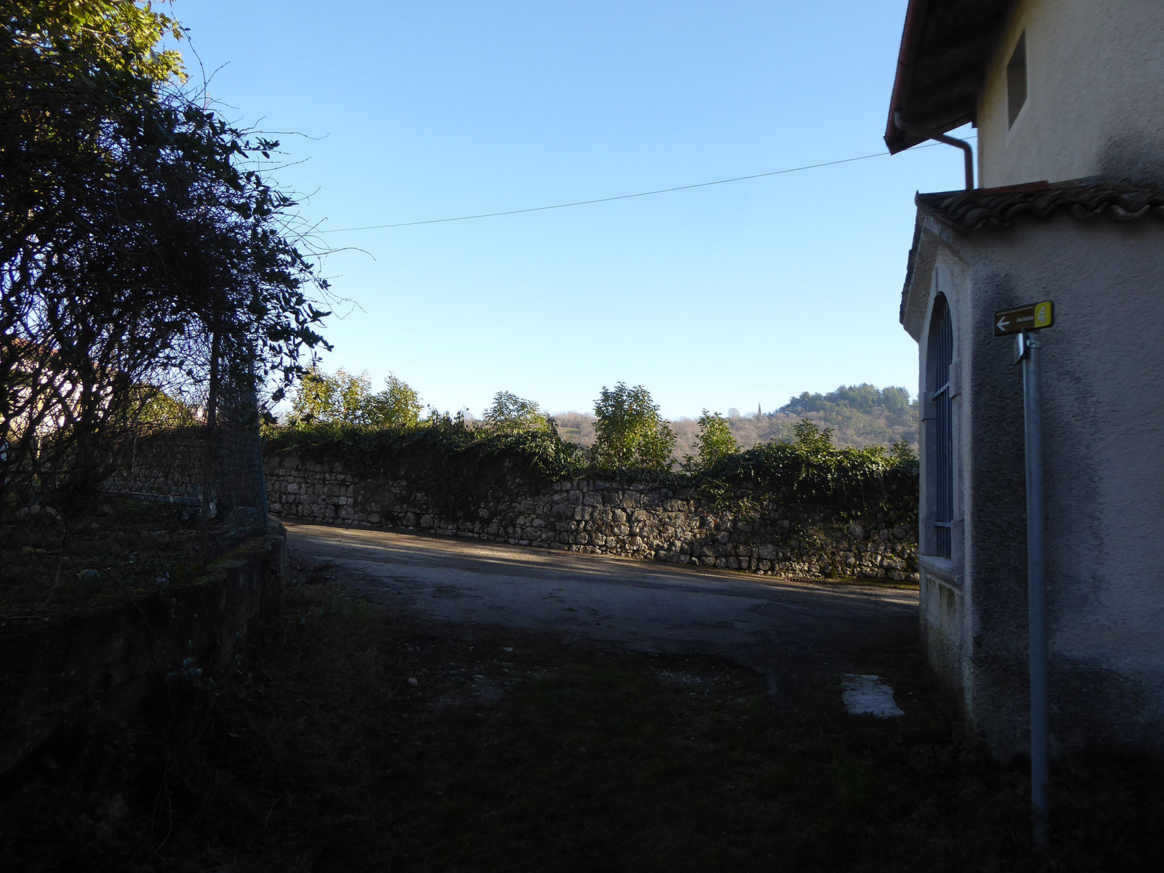
These are suggested tracks for a pleasant walk. The paths develop in Sacile and in the surroundings and they allows you not only to discover evocative views in the historic centre, between bridges, alleys and districts, but also to try comfortable walks in the countryside of the town, accompanied by the babbling of the water of the small brooks that cross these green areas before entering the Livenza.

Among bridges, alleys and quarters, discovering suggestive views

It is the water of the river Livenza that characterizes the city of Sacile, the Garden of Serenissima, embroidering around its historic heart a network of channels that calls to mind Venice. The main square is an island enclosed between two branches of the river whose waters of a special green can be admired from the numerous bridges that connect, in various sites, the opposite banks of the river Livenza. Some bridges are historical, others are more recent, others are precious walkways that shorten the pace of the citizen and let him see images and settings that gladden the spirit.

Track information
Map
Gpx track(.zip file)

Nature and life quality: a salutary walk in the city

In the centre of the city, just outside the walls and the fifteenth-century tower, begins this pathway, immersed in the green and surrounded by waterways. The track winds along the cycle-pedestrian path “Denis Zanette”, a route entitled to the cycling champion of Sacile, that, along the rivulet Paisa, leads to XXV Aprile stadium. Follows then rivulet Sacco until we get to a small pleasant green area with a park bench for an enjoyable moment of rest.

Track information
Map
Gpx track(.zip file)

A pleasant itinerary in the countryside of Sacile

The Meschio, right tributary of the Livenza, is a resurgence river with a very regular character that rises in Vittorio Veneto, at Savassa, in a basin under the slopes of Col Visentin, in the Lapisina valley. Its stream winds for 25 km in the Sinistra Piave to end in Sacile, at Schiavoi, where it flows into the river Livenza. This is an area characterized by the mildness of the river and the rural landscapes, dotted with country caskets, witnesses to a feudal past and guardians of precious frescos.

Track information
Map
Gpx track(.zip file)

The rural areas of Sacile embroidered by torrential streams

The torrent Grava, after having crossed the town of Caneva, flows into the river Livenza above the hospital
of Sacile. Along its course the Grava receives the torrent Rosta, a short stream that rises in Caneva and
winds through the countryside of Sacile among natural areas and rural suburbs.

Track information
Map
Gpx track(.zip file)

Rural environments, witnesses to ancient landscapes of wayfarers and pilgrims

This walk in the countryside of Sacile, besides being an approach to the Path Vita of Ronche, goes along again for a short stretch the Stage 6 “Sacile-Vittorio Veneto” of the devotional path of Sant’Antonio, which from Gemona del Friuli arrives at Padua. It is a path of faith in 11 stages, a route of over 250 kilometres that unveils fields and villages, art places and ancient suburbs.

Track information
Map
Gpx track(.zip file)

In the Park of the Livenza, a green oasis of health and wellbeing

The “Paths Vita” are outdoor training circuits. They have variable length, level of difficulty and number of exercises, but they all share the idea that even with a few tools – many of them made of wood – we can benefit and improve strength, endurance, agility and mobility. Their existence and their name also are closely linked to Vita, a Swiss insurance company that took up the idea of a sports group from Zürich and made a first training circuit in the wood, using trunks and branches.

Track information
Map
Gpx track(.zip file)

The Castle of Caneva among vineyards, olive groves and figomoro trees, following the “Walk of San Cristoforo”

Of the Castle of Caneva, prior to 1000, remain few even though significant remains, but intact remain the suggestion of the place (the top of the Col de Fer) overlooking the village, and the pavement paths of the fortifications and the village below, on which still stand the crenellated tower and the ancient church of Santa Lucia.

Track information
Map
Gpx track(.zip file)

Discovering the Palù of the Livenza, UNESCO World Heritage Site, following the Walk of San Cristoforo

In the wet and marshy area that extends between the municipalities of Caneva and Polcenigo there is the lake-dwelling site “Palù of Livenza”, one of the oldest lake-dwelling sites in northern Italy, populated since the ancient Paleolithic (4900 BC ca.) and currently inscribed on the UNESCO World Heritage List.

Track information
Map
Gpx track(.zip file)